Readings Newsletter
Become a Readings Member to make your shopping experience even easier.
Sign in or sign up for free!
You’re not far away from qualifying for FREE standard shipping within Australia
You’ve qualified for FREE standard shipping within Australia
The cart is loading…


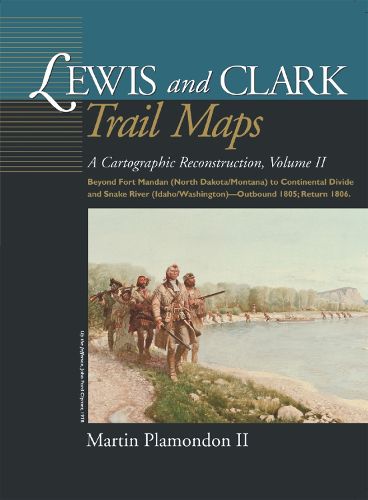
Beginning a short distance above Fort Mandan, 180 maps depict the explorers’ route in 1805-6 on the Missouri River in North Dakota and Montana, over the continental divide to Idaho, and on westward-flowing waters to the Snake-Columbia confluence in central Washington. As in Volume I, the maps contrast modern riverbeds to their courses at the time of exploration.
$9.00 standard shipping within Australia
FREE standard shipping within Australia for orders over $100.00
Express & International shipping calculated at checkout
Beginning a short distance above Fort Mandan, 180 maps depict the explorers’ route in 1805-6 on the Missouri River in North Dakota and Montana, over the continental divide to Idaho, and on westward-flowing waters to the Snake-Columbia confluence in central Washington. As in Volume I, the maps contrast modern riverbeds to their courses at the time of exploration.
Search our extensive online catalogue.
