Readings Newsletter
Become a Readings Member to make your shopping experience even easier.
Sign in or sign up for free!
You’re not far away from qualifying for FREE standard shipping within Australia
You’ve qualified for FREE standard shipping within Australia
The cart is loading…


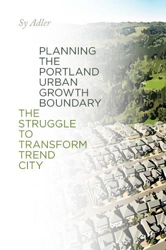
In this companion volume to his 2012 book Oregon Plans: The Making of an Unquiet Land-Use Revolution, Sy Adler offers readers a deep analysis of Portland’s Urban Growth Boundary. As part of Oregon’s land-use system, urban areas are required to define a UGB, a line containing urban sprawl and separating it from agricultural land and open space. In Planning the Portland Urban Growth Boundary, Adler argues that acknowledging the Portland growth boundary in 1979 was the most significant decision the Oregon Land Conservation and Development Commission has ever made, and, more broadly, is a significant milestone in American land-use planning. Planning the Portland Urban Growth Boundary primarily covers the 1970s, the period during which the initial boundary was planned at the regional level and acknowledged as compliant with Oregon’s statewide Urbanization goal. Adler’s central argument is that while state and regional planning institutions were established in response to concerns about sprawl, planners working for those institutions had to confront the reality that various plans developed and implemented by city and county governments around the Portland metro would instead allow the sprawling to continue. Regional planners labeled these as Trend City plans, and sought to transcend and transform them during the 1970s and thereafter. Adler discusses the dynamics of these partially successful efforts and the conflicts that characterized the development of the UGB during the 1970s-between different levels of government, and between public, private, and civic sector advocates. When the regional UGB is periodically reviewed, these conflicts continue, as debates about values and technical issues related to forecasting future amounts of population, economic activity, and the availability of land for urban development over a twenty-year period roil the boundary planning process.
$9.00 standard shipping within Australia
FREE standard shipping within Australia for orders over $100.00
Express & International shipping calculated at checkout
In this companion volume to his 2012 book Oregon Plans: The Making of an Unquiet Land-Use Revolution, Sy Adler offers readers a deep analysis of Portland’s Urban Growth Boundary. As part of Oregon’s land-use system, urban areas are required to define a UGB, a line containing urban sprawl and separating it from agricultural land and open space. In Planning the Portland Urban Growth Boundary, Adler argues that acknowledging the Portland growth boundary in 1979 was the most significant decision the Oregon Land Conservation and Development Commission has ever made, and, more broadly, is a significant milestone in American land-use planning. Planning the Portland Urban Growth Boundary primarily covers the 1970s, the period during which the initial boundary was planned at the regional level and acknowledged as compliant with Oregon’s statewide Urbanization goal. Adler’s central argument is that while state and regional planning institutions were established in response to concerns about sprawl, planners working for those institutions had to confront the reality that various plans developed and implemented by city and county governments around the Portland metro would instead allow the sprawling to continue. Regional planners labeled these as Trend City plans, and sought to transcend and transform them during the 1970s and thereafter. Adler discusses the dynamics of these partially successful efforts and the conflicts that characterized the development of the UGB during the 1970s-between different levels of government, and between public, private, and civic sector advocates. When the regional UGB is periodically reviewed, these conflicts continue, as debates about values and technical issues related to forecasting future amounts of population, economic activity, and the availability of land for urban development over a twenty-year period roil the boundary planning process.