Readings Newsletter
Become a Readings Member to make your shopping experience even easier.
Sign in or sign up for free!
You’re not far away from qualifying for FREE standard shipping within Australia
You’ve qualified for FREE standard shipping within Australia
The cart is loading…


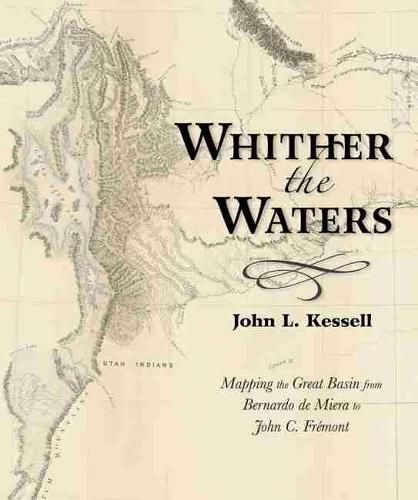
Bernardo de Miera y Pacheco (1713-1785) is remembered today not only as colonial New Mexico’s preeminent religious artist, but also as the cartographer who drew some of the most important early maps of the American West. His Plano Geographico of the Colorado Plateau and Great Basin, revised by his hand in 1778, influenced other mapmakers for almost a century. This book places the man and the map in historical context, reminding readers of the enduring significance of Miera y Pacheco. Later Spanish cartographers, as well as Baron Alexander von Humboldt, Captain Zebulon Montgomery Pike, and Henry Schenck Tanner, projected or expanded upon the Santa Fe cartographer’s imagery. By so doing, they perpetuated Miera y Pacheco’s most notable hydrographic misinterpretations. Not until almost seventy years after Miera did John Charles Fremont take the field and see for himself whither the waters ran and whither they didn’t.
$9.00 standard shipping within Australia
FREE standard shipping within Australia for orders over $100.00
Express & International shipping calculated at checkout
Bernardo de Miera y Pacheco (1713-1785) is remembered today not only as colonial New Mexico’s preeminent religious artist, but also as the cartographer who drew some of the most important early maps of the American West. His Plano Geographico of the Colorado Plateau and Great Basin, revised by his hand in 1778, influenced other mapmakers for almost a century. This book places the man and the map in historical context, reminding readers of the enduring significance of Miera y Pacheco. Later Spanish cartographers, as well as Baron Alexander von Humboldt, Captain Zebulon Montgomery Pike, and Henry Schenck Tanner, projected or expanded upon the Santa Fe cartographer’s imagery. By so doing, they perpetuated Miera y Pacheco’s most notable hydrographic misinterpretations. Not until almost seventy years after Miera did John Charles Fremont take the field and see for himself whither the waters ran and whither they didn’t.
Search our extensive online catalogue.
