Become a Readings Member to make your shopping experience even easier. Sign in or sign up for free!

Become a Readings Member. Sign in or sign up for free!

Hello Readings Member! Go to the member centre to view your orders, change your details, or view your lists, or sign out.

Hello Readings Member! Go to the member centre or sign out.

Atlas of Lewis and Clark in Missouri
Hardback

Atlas of Lewis and Clark in Missouri

$303.99
Sign in or become a Readings Member to add this title to your wishlist.
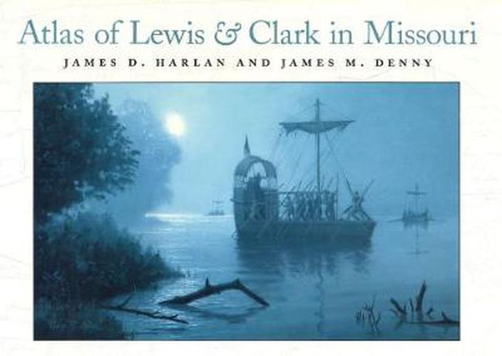
The Atlas of Lewis and Clark in Missouri is a splendid re-creation of the natural landscape in the days when a vast western frontier was about to be explored. The Corps of Discovery’s expedition began in territorial Missouri, and this book of computer-generated maps opens an extraordinary window onto the rivers, land, and settlement patterns of the period. This book is an intensive examination of the Missouri portion of the expedition through a series of twenty-seven maps developed by combining early-nineteenth-century U.S. General Land Office (GLO) survey documents with narratives of the trip derived from expedition journals. The maps are impeccable. The twenty-seven map plates - including twenty-three of the traveled route and four of the river corridor’s historic vegetative land cover - depict the expedition’s course and offer the first accurate rendering of expedition campsites and foot explorations by crew members. Some maps locate the campsites in relation to present-day landmarks. Journal descriptions accompany the map plates, which also include old geographic names; historical hydrography; contemporary towns, settlements, and forts; Indian campsites and villages; and territorial land grants from the French and Spanish governments. Geographers and historians will be fascinated by the detail depicted in them, especially the charting of the modern course of the river on each map that shows the landscape changes caused by the powerful Mississippi and Missouri Rivers. The result is a reconstruction of geo-referenced maps that give, for the first time, a detailed representation of the Corps of Discovery’s course through Missouri, with geographic data as authentic and accurate as yesterday’s available information and today’s technology can produce. The maps allow readers to better understand changes in the land over time and why the landscape encountered by the expedition differs so radically from ours today.
Read More
In Shop
Out of stock
Shipping & Delivery

$9.00 standard shipping within Australia
FREE standard shipping within Australia for orders over $100.00
Express & International shipping calculated at checkout

MORE INFO
Format
Hardback
Publisher
University of Missouri Press
Country
United States
Date
22 December 2003
Pages
152
ISBN
9780826214737
The Atlas of Lewis and Clark in Missouri is a splendid re-creation of the natural landscape in the days when a vast western frontier was about to be explored. The Corps of Discovery’s expedition began in territorial Missouri, and this book of computer-generated maps opens an extraordinary window onto the rivers, land, and settlement patterns of the period. This book is an intensive examination of the Missouri portion of the expedition through a series of twenty-seven maps developed by combining early-nineteenth-century U.S. General Land Office (GLO) survey documents with narratives of the trip derived from expedition journals. The maps are impeccable. The twenty-seven map plates - including twenty-three of the traveled route and four of the river corridor’s historic vegetative land cover - depict the expedition’s course and offer the first accurate rendering of expedition campsites and foot explorations by crew members. Some maps locate the campsites in relation to present-day landmarks. Journal descriptions accompany the map plates, which also include old geographic names; historical hydrography; contemporary towns, settlements, and forts; Indian campsites and villages; and territorial land grants from the French and Spanish governments. Geographers and historians will be fascinated by the detail depicted in them, especially the charting of the modern course of the river on each map that shows the landscape changes caused by the powerful Mississippi and Missouri Rivers. The result is a reconstruction of geo-referenced maps that give, for the first time, a detailed representation of the Corps of Discovery’s course through Missouri, with geographic data as authentic and accurate as yesterday’s available information and today’s technology can produce. The maps allow readers to better understand changes in the land over time and why the landscape encountered by the expedition differs so radically from ours today.
Read More
Format
Hardback
Publisher
University of Missouri Press
Country
United States
Date
22 December 2003
Pages
152
ISBN
9780826214737