Readings Newsletter
Become a Readings Member to make your shopping experience even easier.
Sign in or sign up for free!
You’re not far away from qualifying for FREE standard shipping within Australia
You’ve qualified for FREE standard shipping within Australia
The cart is loading…


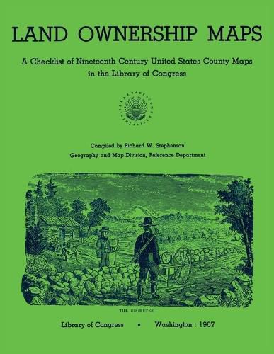
This publication provides records of 1,449 United States county land ownership maps in the Geography and Map Division, Library of Congress. These maps contain the entry number, county and date, author or surveyor, publisher and place, and size of the land. The author describes the historical development of the land ownership maps and their importance, as they predate the more publicized county platbook and the topographic surveys of the U.S. Geological Survey. This checklist is arranged alphabetically - chronologically within each state, with a general index to county names, cartographers, surveyors, and publishers.
$9.00 standard shipping within Australia
FREE standard shipping within Australia for orders over $100.00
Express & International shipping calculated at checkout
This publication provides records of 1,449 United States county land ownership maps in the Geography and Map Division, Library of Congress. These maps contain the entry number, county and date, author or surveyor, publisher and place, and size of the land. The author describes the historical development of the land ownership maps and their importance, as they predate the more publicized county platbook and the topographic surveys of the U.S. Geological Survey. This checklist is arranged alphabetically - chronologically within each state, with a general index to county names, cartographers, surveyors, and publishers.
Search our extensive online catalogue.
