Readings Newsletter
Become a Readings Member to make your shopping experience even easier.
Sign in or sign up for free!
You’re not far away from qualifying for FREE standard shipping within Australia
You’ve qualified for FREE standard shipping within Australia
The cart is loading…


This title is printed to order. This book may have been self-published. If so, we cannot guarantee the quality of the content. In the main most books will have gone through the editing process however some may not. We therefore suggest that you be aware of this before ordering this book. If in doubt check either the author or publisher’s details as we are unable to accept any returns unless they are faulty. Please contact us if you have any questions.
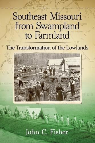
At the beginning of the twentieth century, swamps hosting immense timber resources covered much of Missouri’s Bootheel. Once investors built a network of railroads and harvested the timber, the landscape became on of overgrown, cut-over land with little value until excess water could be drained and the swampland converted to farmland. Small, local drainage districts began the process but complete drainage came with the construction of a system of ditches by the Little River Drainage District which is the largest drainage district in the United States. The amount of earth moved in its constriction rivals or exceeds that moved in construction of the Panama Canal.
With drainage, farms replaced cut-over land and mid-western farmers moved to southeast Missouri. Devastation of cotton in the South by the boll weevil in the early 1920s brought an influx of both white and black sharecroppers to the Bootheel, bringing changes to the social landscape. Cotton became the principal crop; sharecroppers provided the labor. Conflict over payments for taking land out of production in the 1930s led to the 1939 Sharecropper Demonstration along highways 60 and 61 near Sikeston. This demonstration foreshadowed civil rights protests decades later. The book chronicles the development of this unique region in the context of its geology, history, and sociology.
$9.00 standard shipping within Australia
FREE standard shipping within Australia for orders over $100.00
Express & International shipping calculated at checkout
This title is printed to order. This book may have been self-published. If so, we cannot guarantee the quality of the content. In the main most books will have gone through the editing process however some may not. We therefore suggest that you be aware of this before ordering this book. If in doubt check either the author or publisher’s details as we are unable to accept any returns unless they are faulty. Please contact us if you have any questions.
At the beginning of the twentieth century, swamps hosting immense timber resources covered much of Missouri’s Bootheel. Once investors built a network of railroads and harvested the timber, the landscape became on of overgrown, cut-over land with little value until excess water could be drained and the swampland converted to farmland. Small, local drainage districts began the process but complete drainage came with the construction of a system of ditches by the Little River Drainage District which is the largest drainage district in the United States. The amount of earth moved in its constriction rivals or exceeds that moved in construction of the Panama Canal.
With drainage, farms replaced cut-over land and mid-western farmers moved to southeast Missouri. Devastation of cotton in the South by the boll weevil in the early 1920s brought an influx of both white and black sharecroppers to the Bootheel, bringing changes to the social landscape. Cotton became the principal crop; sharecroppers provided the labor. Conflict over payments for taking land out of production in the 1930s led to the 1939 Sharecropper Demonstration along highways 60 and 61 near Sikeston. This demonstration foreshadowed civil rights protests decades later. The book chronicles the development of this unique region in the context of its geology, history, and sociology.