Readings Newsletter
Become a Readings Member to make your shopping experience even easier.
Sign in or sign up for free!
You’re not far away from qualifying for FREE standard shipping within Australia
You’ve qualified for FREE standard shipping within Australia
The cart is loading…


The Surrey District of the Mole Valley takes its name from the river which runs through its heart. The River Mole rises near Gatwick and flows northwards through the Surrey countryside before entering the Thames near Hampton Court. The river was thought to have gained its name because of its habit of disappearing underground during hot dry weather on the stretch between Dorking and Leatherhead. The commercial centre of the district is the market town of Dorking, which lies equidistant between London and the South Coast, and has a strong association with myths and legends of smugglers, contraband and highwaymen. Surrounding the historic town, the Mole Valley is without question an area of outstanding beauty and has been appreciated by visitors as fas back as Victorian times. Featured here are fascinating images of the villages of Brockham, Betchworth, Buckland, Leigh, Newdigate, Capel, Ockley, Beare Green, The Holmwoods, Holmbury, Abinger, Wotton, Westcott, Leith Hill and Mickleham Dorking & The Mole Valley we discover how much or how little the area has changed in the past hundred years by comparing old postcards with modern photographs of the same view. It is a valuable record of changing times and essential reading for residents and visitors alike.
$9.00 standard shipping within Australia
FREE standard shipping within Australia for orders over $100.00
Express & International shipping calculated at checkout
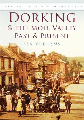
The Surrey District of the Mole Valley takes its name from the river which runs through its heart. The River Mole rises near Gatwick and flows northwards through the Surrey countryside before entering the Thames near Hampton Court. The river was thought to have gained its name because of its habit of disappearing underground during hot dry weather on the stretch between Dorking and Leatherhead. The commercial centre of the district is the market town of Dorking, which lies equidistant between London and the South Coast, and has a strong association with myths and legends of smugglers, contraband and highwaymen. Surrounding the historic town, the Mole Valley is without question an area of outstanding beauty and has been appreciated by visitors as fas back as Victorian times. Featured here are fascinating images of the villages of Brockham, Betchworth, Buckland, Leigh, Newdigate, Capel, Ockley, Beare Green, The Holmwoods, Holmbury, Abinger, Wotton, Westcott, Leith Hill and Mickleham Dorking & The Mole Valley we discover how much or how little the area has changed in the past hundred years by comparing old postcards with modern photographs of the same view. It is a valuable record of changing times and essential reading for residents and visitors alike.