Readings Newsletter
Become a Readings Member to make your shopping experience even easier.
Sign in or sign up for free!
You’re not far away from qualifying for FREE standard shipping within Australia
You’ve qualified for FREE standard shipping within Australia
The cart is loading…


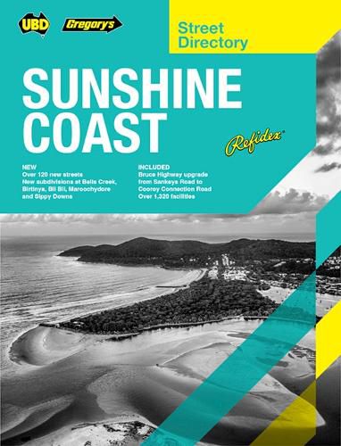
The latest edition of the Sunshine Coast Refidex Street Directory has been fully revised and updated. This is the directory that has been helping locals and visitors find their way around the Sunshine Coast region for over 20 years.
The directory includes: Over 80 maps covering Boreen Point in the north, Beerburrum in the south and Kenilworth in the west. Over 300 new streets including major updates in the suburbs of Banya, Bells Creek, Burnside, Nambour, Nirimba, Palmview, and Pelican Waters. Now completed Bells Creek Arterial Road connection. Four regional town map for Bribie Island, Gympie and Rainbow Beach 14 main road maps with coverage from Boreen Point in the north down through Brisbane and across the New South Wales border to Kingscliff NSW in the south Over 1260 facilities including aged care, clubs, golf courses, hotels & motels, parks, places of interest, racecourses, swimming pools and wineries.
This refidex directory is the essential tool for anyone wanting to travel the Sunshine Coast region.
$9.00 standard shipping within Australia
FREE standard shipping within Australia for orders over $100.00
Express & International shipping calculated at checkout
The latest edition of the Sunshine Coast Refidex Street Directory has been fully revised and updated. This is the directory that has been helping locals and visitors find their way around the Sunshine Coast region for over 20 years.
The directory includes: Over 80 maps covering Boreen Point in the north, Beerburrum in the south and Kenilworth in the west. Over 300 new streets including major updates in the suburbs of Banya, Bells Creek, Burnside, Nambour, Nirimba, Palmview, and Pelican Waters. Now completed Bells Creek Arterial Road connection. Four regional town map for Bribie Island, Gympie and Rainbow Beach 14 main road maps with coverage from Boreen Point in the north down through Brisbane and across the New South Wales border to Kingscliff NSW in the south Over 1260 facilities including aged care, clubs, golf courses, hotels & motels, parks, places of interest, racecourses, swimming pools and wineries.
This refidex directory is the essential tool for anyone wanting to travel the Sunshine Coast region.