Readings Newsletter
Become a Readings Member to make your shopping experience even easier.
Sign in or sign up for free!
You’re not far away from qualifying for FREE standard shipping within Australia
You’ve qualified for FREE standard shipping within Australia
The cart is loading…


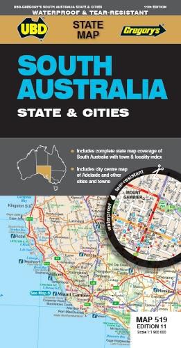
The latest edition of the South Australia State and Cities map is an essential tool when travelling in South Australia.
It includes a state map and index to towns and localities at a scale of 1 : 1 900 000 and state touring information. In addition to this, there is a map covering 150km around Adelaide including the Yorke & Fleurieu Peninsulas and Kangaroo Island at a scale of 1 : 100 000 and street level mapping for Adelaide City and Coober Pedy, Hahndorf, Kangaroo Island, Murray Bridge, Nuriootpa, Renmark and Victor Harbor.
$9.00 standard shipping within Australia
FREE standard shipping within Australia for orders over $100.00
Express & International shipping calculated at checkout
The latest edition of the South Australia State and Cities map is an essential tool when travelling in South Australia.
It includes a state map and index to towns and localities at a scale of 1 : 1 900 000 and state touring information. In addition to this, there is a map covering 150km around Adelaide including the Yorke & Fleurieu Peninsulas and Kangaroo Island at a scale of 1 : 100 000 and street level mapping for Adelaide City and Coober Pedy, Hahndorf, Kangaroo Island, Murray Bridge, Nuriootpa, Renmark and Victor Harbor.
Search our extensive online catalogue.
