Readings Newsletter
Become a Readings Member to make your shopping experience even easier.
Sign in or sign up for free!
You’re not far away from qualifying for FREE standard shipping within Australia
You’ve qualified for FREE standard shipping within Australia
The cart is loading…


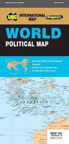
Detailed map of the World, Pacific Centered at a scale of 1: 40 754 000
Mercator projection
Comprehensive index with lists of Countries, National Capitals, State/Provincial names, State/Provincial Capitals, Dependency Territories, Deserts, Headlands, Island/Island Groups, Mountain/Mountain Ranges, Peninsulas, Regions, Oceans/Seas, Sounds, Straits, Bays, Ice Shelves, Reef, Lakes, Reservoirs and Rivers.
$9.00 standard shipping within Australia
FREE standard shipping within Australia for orders over $100.00
Express & International shipping calculated at checkout
Detailed map of the World, Pacific Centered at a scale of 1: 40 754 000
Mercator projection
Comprehensive index with lists of Countries, National Capitals, State/Provincial names, State/Provincial Capitals, Dependency Territories, Deserts, Headlands, Island/Island Groups, Mountain/Mountain Ranges, Peninsulas, Regions, Oceans/Seas, Sounds, Straits, Bays, Ice Shelves, Reef, Lakes, Reservoirs and Rivers.