Readings Newsletter
Become a Readings Member to make your shopping experience even easier.
Sign in or sign up for free!
You’re not far away from qualifying for FREE standard shipping within Australia
You’ve qualified for FREE standard shipping within Australia
The cart is loading…


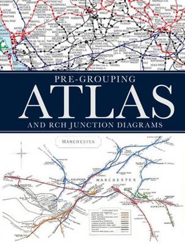
Following the popularity of other historical railway atlases, this is an enlarged edition of the Pre-Grouping Atlas combined with the Railway Clearing House Junction Diagrams. The pages will show a map of the British railway network for a particular region immediately prior to the 1923 Grouping, showing the owners of line and each map will be accompanied detailed drawings published by the Railway Clearing House in 1914 of the junctions within that region. Immediately prior to the Grouping there were roughly 150 independent railway companies operating in the UK and each company’s lines are colour coded in the atlas, allowing the reader to easily trace the historical operations of that company, even through the complex junctions. The atlas and junction diagrams are supplemented by a detailed list of all stations, junctions and companies in operation at that time, as well as additional information on features such as tunnels, watertroughs, viaducts and summits. This book will be an invaluable work of reference to the complex railway system in Britain 100 years ago and will appeal to railway enthusiasts and historians alike.
$9.00 standard shipping within Australia
FREE standard shipping within Australia for orders over $100.00
Express & International shipping calculated at checkout
Following the popularity of other historical railway atlases, this is an enlarged edition of the Pre-Grouping Atlas combined with the Railway Clearing House Junction Diagrams. The pages will show a map of the British railway network for a particular region immediately prior to the 1923 Grouping, showing the owners of line and each map will be accompanied detailed drawings published by the Railway Clearing House in 1914 of the junctions within that region. Immediately prior to the Grouping there were roughly 150 independent railway companies operating in the UK and each company’s lines are colour coded in the atlas, allowing the reader to easily trace the historical operations of that company, even through the complex junctions. The atlas and junction diagrams are supplemented by a detailed list of all stations, junctions and companies in operation at that time, as well as additional information on features such as tunnels, watertroughs, viaducts and summits. This book will be an invaluable work of reference to the complex railway system in Britain 100 years ago and will appeal to railway enthusiasts and historians alike.
Search our extensive online catalogue.
