Readings Newsletter
Become a Readings Member to make your shopping experience even easier.
Sign in or sign up for free!
You’re not far away from qualifying for FREE standard shipping within Australia
You’ve qualified for FREE standard shipping within Australia
The cart is loading…


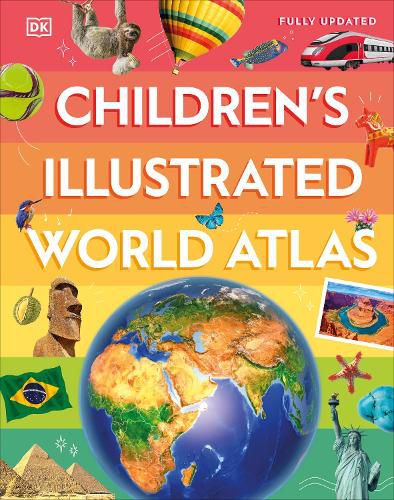
Take young readers on the ultimate round-the-world trip with this impressive atlas - packed full of beautiful illustrations and photographs.
Discover the world map-by-map with this exciting world atlas book for children, featuring more than 50 maps! Each page is filled with fascinating information, facts and colorful illustrations of our world.
Children aged 9-12 will love to learn all about the many countries, cultures and people of the world through vibrant maps. Fascinating facts, local stories, vivid pictures, and clear, satellite-based maps together make this atlas a global yet personal experience for young readers.
This illustrated atlas book for children offers:
From Bangkok's floating markets to the carnival in Venice, the Children's Illustrated World Atlas brings together views from windows all over the world. This illustrated atlas not only portrays regions, such as the Siberian wastes, with beautifully detailed maps but also describes the peoples who live there.
$9.00 standard shipping within Australia
FREE standard shipping within Australia for orders over $100.00
Express & International shipping calculated at checkout
Take young readers on the ultimate round-the-world trip with this impressive atlas - packed full of beautiful illustrations and photographs.
Discover the world map-by-map with this exciting world atlas book for children, featuring more than 50 maps! Each page is filled with fascinating information, facts and colorful illustrations of our world.
Children aged 9-12 will love to learn all about the many countries, cultures and people of the world through vibrant maps. Fascinating facts, local stories, vivid pictures, and clear, satellite-based maps together make this atlas a global yet personal experience for young readers.
This illustrated atlas book for children offers:
From Bangkok's floating markets to the carnival in Venice, the Children's Illustrated World Atlas brings together views from windows all over the world. This illustrated atlas not only portrays regions, such as the Siberian wastes, with beautifully detailed maps but also describes the peoples who live there.
Search our extensive online catalogue.
