Readings Newsletter
Become a Readings Member to make your shopping experience even easier.
Sign in or sign up for free!
You’re not far away from qualifying for FREE standard shipping within Australia
You’ve qualified for FREE standard shipping within Australia
The cart is loading…


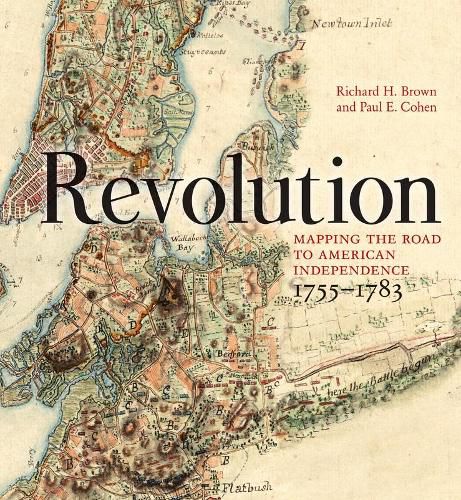
Taking into account the key events of the French and Indian War, this book shows the American Revolution’s progress in glorious contemporary maps and accompanying essays relating them to the events of the time. The authors tell the stories of the maps and the cartographers whose talents have made these some of the most valuable artifacts in America’s history.When war between Britain and her colonists erupted in 1775, maps provided the pictorial news about military matters. The best examples of those maps, including some from the collection of King George III, the Duke of Northumberland and the Marquis de Lafayette, are beautifully reproduced here. Others from institutional and private collections are published here for the first time.
$9.00 standard shipping within Australia
FREE standard shipping within Australia for orders over $100.00
Express & International shipping calculated at checkout
Taking into account the key events of the French and Indian War, this book shows the American Revolution’s progress in glorious contemporary maps and accompanying essays relating them to the events of the time. The authors tell the stories of the maps and the cartographers whose talents have made these some of the most valuable artifacts in America’s history.When war between Britain and her colonists erupted in 1775, maps provided the pictorial news about military matters. The best examples of those maps, including some from the collection of King George III, the Duke of Northumberland and the Marquis de Lafayette, are beautifully reproduced here. Others from institutional and private collections are published here for the first time.
Search our extensive online catalogue.
