Readings Newsletter
Become a Readings Member to make your shopping experience even easier.
Sign in or sign up for free!
You’re not far away from qualifying for FREE standard shipping within Australia
You’ve qualified for FREE standard shipping within Australia
The cart is loading…


This title is printed to order. This book may have been self-published. If so, we cannot guarantee the quality of the content. In the main most books will have gone through the editing process however some may not. We therefore suggest that you be aware of this before ordering this book. If in doubt check either the author or publisher’s details as we are unable to accept any returns unless they are faulty. Please contact us if you have any questions.
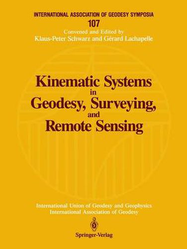
Kinematic Systems in Geodesy, Surveying, and Remote Sensing provides a state-of-the-art discussion on the use of the Global Positioning System (GPS) in combination with Inertial Navigation Systems (INS) for detailed sensing of the Earth’s surface. Divided into two parts, the book first discusses GPS/INS with respect to theory and modelling, equipment trends, estimation methods and quality control, algorithms, and software trends. It then describes the applications of these kinematic systems to positioning and navigation, modelling and measurement of gravity, gravity gradiometry, and altitude. This collection of 63 presentations documents the symposium of the same name held in Banff, Alberta, September 1990. It is the sixth volume of the International Association of Geodesy Symposia series published by Springer-Verlag New York.
$9.00 standard shipping within Australia
FREE standard shipping within Australia for orders over $100.00
Express & International shipping calculated at checkout
This title is printed to order. This book may have been self-published. If so, we cannot guarantee the quality of the content. In the main most books will have gone through the editing process however some may not. We therefore suggest that you be aware of this before ordering this book. If in doubt check either the author or publisher’s details as we are unable to accept any returns unless they are faulty. Please contact us if you have any questions.
Kinematic Systems in Geodesy, Surveying, and Remote Sensing provides a state-of-the-art discussion on the use of the Global Positioning System (GPS) in combination with Inertial Navigation Systems (INS) for detailed sensing of the Earth’s surface. Divided into two parts, the book first discusses GPS/INS with respect to theory and modelling, equipment trends, estimation methods and quality control, algorithms, and software trends. It then describes the applications of these kinematic systems to positioning and navigation, modelling and measurement of gravity, gravity gradiometry, and altitude. This collection of 63 presentations documents the symposium of the same name held in Banff, Alberta, September 1990. It is the sixth volume of the International Association of Geodesy Symposia series published by Springer-Verlag New York.