Readings Newsletter
Become a Readings Member to make your shopping experience even easier.
Sign in or sign up for free!
You’re not far away from qualifying for FREE standard shipping within Australia
You’ve qualified for FREE standard shipping within Australia
The cart is loading…


This title is printed to order. This book may have been self-published. If so, we cannot guarantee the quality of the content. In the main most books will have gone through the editing process however some may not. We therefore suggest that you be aware of this before ordering this book. If in doubt check either the author or publisher’s details as we are unable to accept any returns unless they are faulty. Please contact us if you have any questions.
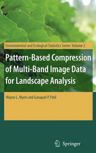
This book describes an integrated approach to using remotely sensed data in conjunction with geographic information systems for landscape analysis. Remotely sensed data are compressed into an analytical image-map that is compatible with the most popular geographic information systems as well as freeware viewers. The approach is most effective for landscapes that exhibit a pronounced mosaic pattern of land cover.
$9.00 standard shipping within Australia
FREE standard shipping within Australia for orders over $100.00
Express & International shipping calculated at checkout
This title is printed to order. This book may have been self-published. If so, we cannot guarantee the quality of the content. In the main most books will have gone through the editing process however some may not. We therefore suggest that you be aware of this before ordering this book. If in doubt check either the author or publisher’s details as we are unable to accept any returns unless they are faulty. Please contact us if you have any questions.
This book describes an integrated approach to using remotely sensed data in conjunction with geographic information systems for landscape analysis. Remotely sensed data are compressed into an analytical image-map that is compatible with the most popular geographic information systems as well as freeware viewers. The approach is most effective for landscapes that exhibit a pronounced mosaic pattern of land cover.