Readings Newsletter
Become a Readings Member to make your shopping experience even easier.
Sign in or sign up for free!
You’re not far away from qualifying for FREE standard shipping within Australia
You’ve qualified for FREE standard shipping within Australia
The cart is loading…


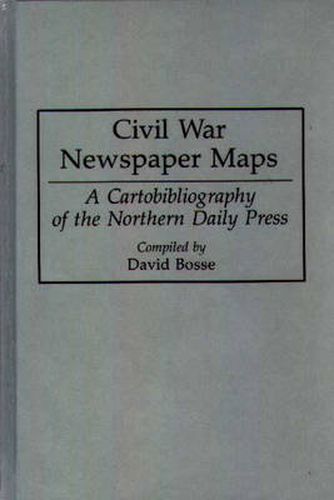
During the course of the Civil War, Northern daily newspapers printed over 2,000 separate maps depicting campaigns and military operations. Although they are important primary documents, these maps have been largely overlooked by historians and enthusiasts because of the difficulty in locating them. This cartobibliography is the first finding aid to the war’s journalistic cartography. The book lists all known Civil War maps published in eighteen daily newspapers in Baltimore, Boston, Chicago, Cincinnati, Columbus, New York, Philadelphia, and St. Louis. Entries consist of map title, scale, dimensions, author (when known), engraver (when known), and notes on sources of information and geographic coverage. Maps are grouped by newspapers, which are arranged alphabetically, and listed chronologically under each newspaper. A thorough geographic, subject, and personal name index provides access to the entries.
$9.00 standard shipping within Australia
FREE standard shipping within Australia for orders over $100.00
Express & International shipping calculated at checkout
During the course of the Civil War, Northern daily newspapers printed over 2,000 separate maps depicting campaigns and military operations. Although they are important primary documents, these maps have been largely overlooked by historians and enthusiasts because of the difficulty in locating them. This cartobibliography is the first finding aid to the war’s journalistic cartography. The book lists all known Civil War maps published in eighteen daily newspapers in Baltimore, Boston, Chicago, Cincinnati, Columbus, New York, Philadelphia, and St. Louis. Entries consist of map title, scale, dimensions, author (when known), engraver (when known), and notes on sources of information and geographic coverage. Maps are grouped by newspapers, which are arranged alphabetically, and listed chronologically under each newspaper. A thorough geographic, subject, and personal name index provides access to the entries.