Readings Newsletter
Become a Readings Member to make your shopping experience even easier.
Sign in or sign up for free!
You’re not far away from qualifying for FREE standard shipping within Australia
You’ve qualified for FREE standard shipping within Australia
The cart is loading…


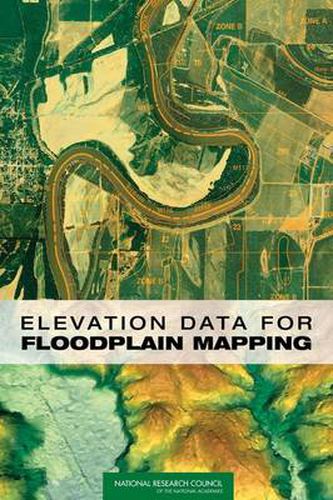
Floodplain maps serve as the basis for determining whether homes or buildings require flood insurance under the National Flood Insurance Program run by the Federal Emergency Management Agency (FEMA). Approximately $650 billion in insured assets are now covered under the program. FEMA is modernizing floodplain maps to better serve the program. However, concerns have been raised as to the adequacy of the base map information available to support floodplain map modernization. Elevation Data for Floodplain Mapping shows that there is sufficient two-dimensional base map imagery to meet FEMA’s flood map modernization goals, but that the three-dimensional base elevation data that are needed to determine whether a building should have flood insurance are not adequate. This book makes recommendations for a new national digital elevation data collection program to redress the inadequacy. Policy makers, property insurance professionals; federal, local, and state governments; and, others concerned with natural disaster prevention and preparedness will find this book of interest.
$9.00 standard shipping within Australia
FREE standard shipping within Australia for orders over $100.00
Express & International shipping calculated at checkout
Floodplain maps serve as the basis for determining whether homes or buildings require flood insurance under the National Flood Insurance Program run by the Federal Emergency Management Agency (FEMA). Approximately $650 billion in insured assets are now covered under the program. FEMA is modernizing floodplain maps to better serve the program. However, concerns have been raised as to the adequacy of the base map information available to support floodplain map modernization. Elevation Data for Floodplain Mapping shows that there is sufficient two-dimensional base map imagery to meet FEMA’s flood map modernization goals, but that the three-dimensional base elevation data that are needed to determine whether a building should have flood insurance are not adequate. This book makes recommendations for a new national digital elevation data collection program to redress the inadequacy. Policy makers, property insurance professionals; federal, local, and state governments; and, others concerned with natural disaster prevention and preparedness will find this book of interest.
Search our extensive online catalogue.
