Readings Newsletter
Become a Readings Member to make your shopping experience even easier.
Sign in or sign up for free!
You’re not far away from qualifying for FREE standard shipping within Australia
You’ve qualified for FREE standard shipping within Australia
The cart is loading…


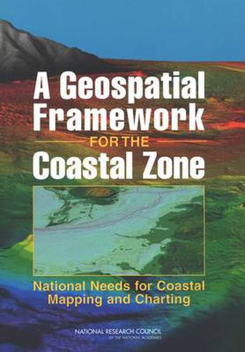
The coastal zone is of enormous importance to the well-being of the nation, as our lives and economy are inextricably linked to the features and activities that occur within this dynamic region. In order to understand and address the effects of natural and anthropogenic forces in the coastal zone, a holistic multidisciplinary framework is required to account for the interconnectivity of processes within the system. The foundation of this framework is accurate geospatial information - information that is depicted on maps and charts. A Geospatial Framework for the Coastal Zone: National Needs identifies and suggests mechanisms for addressing national needs for spatial information in the coastal zone. It identifies high priority needs, evaluates the potential for meeting those needs based on the current level of effort, and suggests steps to increase collaboration and ensure that the nation’s need for spatial information in the coastal zone is met in an efficient and timely manner.
$9.00 standard shipping within Australia
FREE standard shipping within Australia for orders over $100.00
Express & International shipping calculated at checkout
The coastal zone is of enormous importance to the well-being of the nation, as our lives and economy are inextricably linked to the features and activities that occur within this dynamic region. In order to understand and address the effects of natural and anthropogenic forces in the coastal zone, a holistic multidisciplinary framework is required to account for the interconnectivity of processes within the system. The foundation of this framework is accurate geospatial information - information that is depicted on maps and charts. A Geospatial Framework for the Coastal Zone: National Needs identifies and suggests mechanisms for addressing national needs for spatial information in the coastal zone. It identifies high priority needs, evaluates the potential for meeting those needs based on the current level of effort, and suggests steps to increase collaboration and ensure that the nation’s need for spatial information in the coastal zone is met in an efficient and timely manner.