Readings Newsletter
Become a Readings Member to make your shopping experience even easier.
Sign in or sign up for free!
You’re not far away from qualifying for FREE standard shipping within Australia
You’ve qualified for FREE standard shipping within Australia
The cart is loading…


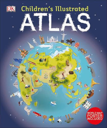
Set off on a thrilling journey around the world
You’ve got the whole world in your hands with the most amazing atlas around.
This incredible and inspiring visual guide to the continents and countries takes you on a wonderful whistle-stop tour of planet Earth. ??
From Australia to Zimbabwe, each and every place is brought to life with stunning photography and eye-catching illustrations to encapsulate the geography, landscape, culture, history, and special features. More than 50 breathtaking maps are packed with fun and fresh images accompanied by information about climate, population, star sites, mountains, rivers, and wildlife. Accompanying keys focus on the main produce, exports, industries, and activities. As well as learning a wealth of information about our world today, the Children’s Illustrated Atlas shows young adventurers how to read a map and use a key, compass, and scale.??
There is room in every children’s library for this absolutely essential addition. What in the world are you waiting for?
$9.00 standard shipping within Australia
FREE standard shipping within Australia for orders over $100.00
Express & International shipping calculated at checkout
Set off on a thrilling journey around the world
You’ve got the whole world in your hands with the most amazing atlas around.
This incredible and inspiring visual guide to the continents and countries takes you on a wonderful whistle-stop tour of planet Earth. ??
From Australia to Zimbabwe, each and every place is brought to life with stunning photography and eye-catching illustrations to encapsulate the geography, landscape, culture, history, and special features. More than 50 breathtaking maps are packed with fun and fresh images accompanied by information about climate, population, star sites, mountains, rivers, and wildlife. Accompanying keys focus on the main produce, exports, industries, and activities. As well as learning a wealth of information about our world today, the Children’s Illustrated Atlas shows young adventurers how to read a map and use a key, compass, and scale.??
There is room in every children’s library for this absolutely essential addition. What in the world are you waiting for?
Search our extensive online catalogue.
