Readings Newsletter
Become a Readings Member to make your shopping experience even easier.
Sign in or sign up for free!
You’re not far away from qualifying for FREE standard shipping within Australia
You’ve qualified for FREE standard shipping within Australia
The cart is loading…


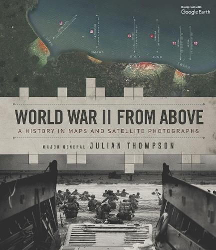
World War II from Above offers a never-before-seen combination of annotated satellite images and expertly drawn battle maps. It aims to satisfy both the military history buff and those seeking a visually stunning history gift book, bringing the war vividly and dramatically to life by showing the actual landscapes where battles took place along with specially commissioned annotations depicting remarkable events, troop movements, heroic last stands, or even where individual soldiers stood or fell.
Each of the 25 chapters features an enhanced Google Earth image, along with specially commissioned battle maps showing every facet of the conflict in exceptional detail.
Here you will find all the key milestones of World War II: the invasion of France, Germany’s first blitzkrieg offensives, the Battle of Alamein, Monte Cassino, Arnhem, the invasion of Sicily, the Battle of the Bulge, Iwo Jima, D-Day and the final push to Berlin, along with a host of other strategic and battle maps from every geographical location.
Written by a highly decorated soldier and leading military history expert, this is an innovative, richly detailed and visually stunning overview of history’s most destructive conflict.
$9.00 standard shipping within Australia
FREE standard shipping within Australia for orders over $100.00
Express & International shipping calculated at checkout
World War II from Above offers a never-before-seen combination of annotated satellite images and expertly drawn battle maps. It aims to satisfy both the military history buff and those seeking a visually stunning history gift book, bringing the war vividly and dramatically to life by showing the actual landscapes where battles took place along with specially commissioned annotations depicting remarkable events, troop movements, heroic last stands, or even where individual soldiers stood or fell.
Each of the 25 chapters features an enhanced Google Earth image, along with specially commissioned battle maps showing every facet of the conflict in exceptional detail.
Here you will find all the key milestones of World War II: the invasion of France, Germany’s first blitzkrieg offensives, the Battle of Alamein, Monte Cassino, Arnhem, the invasion of Sicily, the Battle of the Bulge, Iwo Jima, D-Day and the final push to Berlin, along with a host of other strategic and battle maps from every geographical location.
Written by a highly decorated soldier and leading military history expert, this is an innovative, richly detailed and visually stunning overview of history’s most destructive conflict.
Search our extensive online catalogue.
