Readings Newsletter
Become a Readings Member to make your shopping experience even easier.
Sign in or sign up for free!
You’re not far away from qualifying for FREE standard shipping within Australia
You’ve qualified for FREE standard shipping within Australia
The cart is loading…


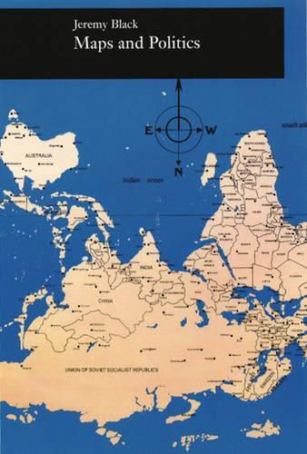
Do maps accurately and objectively (re)present the information we expect them to portray, or are they instead coloured by the political purposes of their makers? In the lively and well-illustrated Maps and Politics , Jeremy Black argues persuasively that the supposed objectivity of the map-making and map-using process cannot be divorced from aspects of the politics of representation. Black uses a wide variety of historical and contemporary examples to show that maps have played, and continue to play, a major role in international and domestic politics. For instance, U.S. maps from World War II minimized the distances between the United States and Europe to globalize American attention, while wildly divergent representations of the former Yugoslavia are currently being used by various groups to assert ethnic identities and territorial claims. Jeremy Black’s Maps and Politics provides us with a powerful lens through which we can intelligently view and interpret maps by returning them to the social and political contexts in which they have meaning.
$9.00 standard shipping within Australia
FREE standard shipping within Australia for orders over $100.00
Express & International shipping calculated at checkout
Do maps accurately and objectively (re)present the information we expect them to portray, or are they instead coloured by the political purposes of their makers? In the lively and well-illustrated Maps and Politics , Jeremy Black argues persuasively that the supposed objectivity of the map-making and map-using process cannot be divorced from aspects of the politics of representation. Black uses a wide variety of historical and contemporary examples to show that maps have played, and continue to play, a major role in international and domestic politics. For instance, U.S. maps from World War II minimized the distances between the United States and Europe to globalize American attention, while wildly divergent representations of the former Yugoslavia are currently being used by various groups to assert ethnic identities and territorial claims. Jeremy Black’s Maps and Politics provides us with a powerful lens through which we can intelligently view and interpret maps by returning them to the social and political contexts in which they have meaning.
Search our extensive online catalogue.
