Readings Newsletter
Become a Readings Member to make your shopping experience even easier.
Sign in or sign up for free!
You’re not far away from qualifying for FREE standard shipping within Australia
You’ve qualified for FREE standard shipping within Australia
The cart is loading…


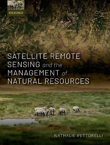
The ability to anticipate the impacts of global environmental changes on natural resources is fundamental to designing appropriate and optimised adaptation and mitigation strategies. However, this requires the scientific community to have access to reliable, large-scale information on spatio-temporal changes in the distribution of abiotic conditions and on the distribution, structure, composition, and functioning of ecosystems. Satellite remote sensing can provide access to some of this fundamental data by offering repeatable, standardised, and verifiable information that is directly relevant to the monitoring and management of our natural capital. This book demonstrates how ecological knowledge and satellite-based information can be effectively combined to address a wide array of current natural resource management needs. By focusing on concrete applied examples in both the marine and terrestrial realms, it will help pave the way for developing enhanced levels of collaboration between the ecological and remote sensing communities, as well as shaping their future research directions. Satellite Remote Sensing and the Management of Natural Resources is primarily aimed at ecologists and remote sensing specialists, as well as policy makers and practitioners in the fields of conservation biology, biodiversity monitoring, and natural resource management.
$9.00 standard shipping within Australia
FREE standard shipping within Australia for orders over $100.00
Express & International shipping calculated at checkout
The ability to anticipate the impacts of global environmental changes on natural resources is fundamental to designing appropriate and optimised adaptation and mitigation strategies. However, this requires the scientific community to have access to reliable, large-scale information on spatio-temporal changes in the distribution of abiotic conditions and on the distribution, structure, composition, and functioning of ecosystems. Satellite remote sensing can provide access to some of this fundamental data by offering repeatable, standardised, and verifiable information that is directly relevant to the monitoring and management of our natural capital. This book demonstrates how ecological knowledge and satellite-based information can be effectively combined to address a wide array of current natural resource management needs. By focusing on concrete applied examples in both the marine and terrestrial realms, it will help pave the way for developing enhanced levels of collaboration between the ecological and remote sensing communities, as well as shaping their future research directions. Satellite Remote Sensing and the Management of Natural Resources is primarily aimed at ecologists and remote sensing specialists, as well as policy makers and practitioners in the fields of conservation biology, biodiversity monitoring, and natural resource management.