Readings Newsletter
Become a Readings Member to make your shopping experience even easier.
Sign in or sign up for free!
You’re not far away from qualifying for FREE standard shipping within Australia
You’ve qualified for FREE standard shipping within Australia
The cart is loading…


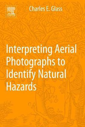
Authored by a world-renowned aerial photography and remote sensing expert, Geographic Aerial Photography: Identifying Earth-Surface Hazards Through Image Interpretation is the most practical and authoritative reference available for any professional or student looking for a reference on how to recognize, analyze, interpret and avoid - or successfully plan for - dangerous contingencies.
Whether they are related to natural terrain, geology, vegetation, hydrology or land use patterns - it’s critical for you to be able to recognize dangerous conditions when and where they exist. Failure to adequately recognize and characterize geomorphic, geologic, and hydrologic dangers on the ground using aerial photography is one of the major factors contributing to due to natural hazards and disasters, damage to architectural structures, and often the subsequent loss of human life as a result. Aerial photographs provide one of the most prevalent, inexpensive and under-utilized tools to those with the knowledge and expertise to interpret them.
$9.00 standard shipping within Australia
FREE standard shipping within Australia for orders over $100.00
Express & International shipping calculated at checkout
Authored by a world-renowned aerial photography and remote sensing expert, Geographic Aerial Photography: Identifying Earth-Surface Hazards Through Image Interpretation is the most practical and authoritative reference available for any professional or student looking for a reference on how to recognize, analyze, interpret and avoid - or successfully plan for - dangerous contingencies.
Whether they are related to natural terrain, geology, vegetation, hydrology or land use patterns - it’s critical for you to be able to recognize dangerous conditions when and where they exist. Failure to adequately recognize and characterize geomorphic, geologic, and hydrologic dangers on the ground using aerial photography is one of the major factors contributing to due to natural hazards and disasters, damage to architectural structures, and often the subsequent loss of human life as a result. Aerial photographs provide one of the most prevalent, inexpensive and under-utilized tools to those with the knowledge and expertise to interpret them.