Readings Newsletter
Become a Readings Member to make your shopping experience even easier.
Sign in or sign up for free!
You’re not far away from qualifying for FREE standard shipping within Australia
You’ve qualified for FREE standard shipping within Australia
The cart is loading…


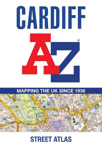
Navigate your way around Cardiff with this detailed and easy-to-use A-Z Street Atlas. Printed in full-colour, paperback format, this atlas contains 107 pages of continuous street mapping.
The main mapping covers Cardiff and Newport at a scale of 4 inches to 1 mile, featuring postcode districts, one-way streets, park and ride sites, and safety camera locations.
Areas covered include:
Pontypridd Caerphilly Cwmbran Pontypool Caerleon Penarth Barry Rhoose Llantwit Major
Separate coverage of Chepstow, Caldicot, Magor and Cowbridge is provided.
The large-scale street map of Cardiff city centre - at a scale of 8 inches to 1 mile - includes:
Postcode map of the Cardiff area Road map of the Cardiff area Waterbus stops
A comprehensive index lists streets, selected flats, walkways and places of interest, place, area and station names. Additional healthcare (hospitals, walk-in centres and hospices) are indexed as well.
$9.00 standard shipping within Australia
FREE standard shipping within Australia for orders over $100.00
Express & International shipping calculated at checkout
Navigate your way around Cardiff with this detailed and easy-to-use A-Z Street Atlas. Printed in full-colour, paperback format, this atlas contains 107 pages of continuous street mapping.
The main mapping covers Cardiff and Newport at a scale of 4 inches to 1 mile, featuring postcode districts, one-way streets, park and ride sites, and safety camera locations.
Areas covered include:
Pontypridd Caerphilly Cwmbran Pontypool Caerleon Penarth Barry Rhoose Llantwit Major
Separate coverage of Chepstow, Caldicot, Magor and Cowbridge is provided.
The large-scale street map of Cardiff city centre - at a scale of 8 inches to 1 mile - includes:
Postcode map of the Cardiff area Road map of the Cardiff area Waterbus stops
A comprehensive index lists streets, selected flats, walkways and places of interest, place, area and station names. Additional healthcare (hospitals, walk-in centres and hospices) are indexed as well.
Search our extensive online catalogue.
