Readings Newsletter
Become a Readings Member to make your shopping experience even easier.
Sign in or sign up for free!
You’re not far away from qualifying for FREE standard shipping within Australia
You’ve qualified for FREE standard shipping within Australia
The cart is loading…


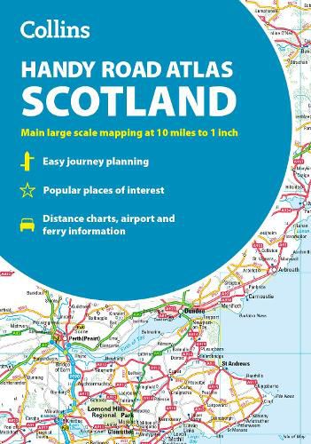
Discover new places with handy road atlases from Collins.
Your ideal companion for navigating around Scotland. It has extremely clear, route planning maps of Scotland, detailed city plans of the major cities and towns and fits neatly into your glovebox, briefcase or bag.
Main features Clear, attractive route planning maps of the whole of Scotland supported by comprehensive, fully indexed city centre street maps of Aberdeen, Dundee, Edinburgh, Glasgow, Inverness and Perth. Scale of main maps: 1:625,000 (9.9 miles to 1 inch).
Also includes * Places of tourist interest are highlighted * Attractive layer colouring showing land height * Road network fully classified and colour coded * Detailed street mapping of Edinburgh, including the Royal Mile with all its attractions clearly marked, Leith and Holyrood Park * Detailed street mapping of Glasgow, including the West End, city centre and M74 extension * Detailed street mapping of Aberdeen, including the bypass * Street maps, with indexes, of Dundee, Inverness and Perth city centres * Handy distance calculator chart highlighting distances between the major towns * Administrative areas map showing council areas * Transport connections section listing all the airports and details of all vehicle ferries into and within Scotland
Area of coverage Covers the whole of Scotland and part of northern England, extending down to Kendal and Scarborough in the south.
$9.00 standard shipping within Australia
FREE standard shipping within Australia for orders over $100.00
Express & International shipping calculated at checkout
Discover new places with handy road atlases from Collins.
Your ideal companion for navigating around Scotland. It has extremely clear, route planning maps of Scotland, detailed city plans of the major cities and towns and fits neatly into your glovebox, briefcase or bag.
Main features Clear, attractive route planning maps of the whole of Scotland supported by comprehensive, fully indexed city centre street maps of Aberdeen, Dundee, Edinburgh, Glasgow, Inverness and Perth. Scale of main maps: 1:625,000 (9.9 miles to 1 inch).
Also includes * Places of tourist interest are highlighted * Attractive layer colouring showing land height * Road network fully classified and colour coded * Detailed street mapping of Edinburgh, including the Royal Mile with all its attractions clearly marked, Leith and Holyrood Park * Detailed street mapping of Glasgow, including the West End, city centre and M74 extension * Detailed street mapping of Aberdeen, including the bypass * Street maps, with indexes, of Dundee, Inverness and Perth city centres * Handy distance calculator chart highlighting distances between the major towns * Administrative areas map showing council areas * Transport connections section listing all the airports and details of all vehicle ferries into and within Scotland
Area of coverage Covers the whole of Scotland and part of northern England, extending down to Kendal and Scarborough in the south.
Search our extensive online catalogue.
