Readings Newsletter
Become a Readings Member to make your shopping experience even easier.
Sign in or sign up for free!
You’re not far away from qualifying for FREE standard shipping within Australia
You’ve qualified for FREE standard shipping within Australia
The cart is loading…


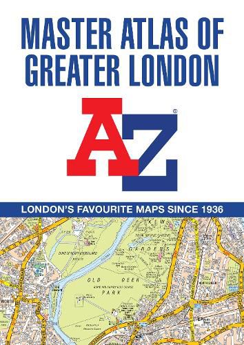
The ultimate street atlas to navigate your way around London.This comprehensive, paperback atlas encompasses an area of 1,450 square miles, including more than 90,000 streets and other addresses, and is trusted by local authorities, taxi drivers and emergency services.
The coverage extends beyond the Greater London and M25 area to: Hemel Hempstead, St. Albans, Potters Bar, Waltham Cross, Epping, Brentwood, Thurrock, Stanford-le-Hope, Gravesend, Wrotham, Sevenoaks, Westerham, Oxted, Redhill, Reigate, Leatherhead, Great Bookham, Woking, Egham, Windsor, Slough, Chalfont St. Peter, Chorleywood, Bovingdon
There are eighteen pages of large scale (9" to 1 mile) street mapping of central London which gives additional clarity and detail, this mapping extends to: Regent's Park, St. Pancras International Station, Old Street, Tower Bridge, Bricklayer's Arms Junction, Vauxhall Bridge, South Kensington, Paddington Station and Lord's Cricket Ground.
Postcode districts and one-way streets are included on the street mapping.
Other features include:
The Congestion Charging Zone (CCZ) boundary which is shown on both scales of mapping and an overview map of the zone is also included The Greater London Low Emission Zone boundary is shown on the street mapping and an overview map of the zone is also included The Ultra Low Emission Zone (ULEZ) boundary There are eight pages of road mapping at 3 miles to 1 inch that cover much of the Home Counties area London Underground map London Rail Connections map West End Cinema and Theatre maps
The index section of the atlas includes streets, places & areas, hospitals, industrial estates, selected flats & walkways, service areas, stations and selected places of interest. Please note hospitals and rail stations are now listed in the main index and highlighted in different colour. They are not included as a separate list as in previous editions.
$9.00 standard shipping within Australia
FREE standard shipping within Australia for orders over $100.00
Express & International shipping calculated at checkout
The ultimate street atlas to navigate your way around London.This comprehensive, paperback atlas encompasses an area of 1,450 square miles, including more than 90,000 streets and other addresses, and is trusted by local authorities, taxi drivers and emergency services.
The coverage extends beyond the Greater London and M25 area to: Hemel Hempstead, St. Albans, Potters Bar, Waltham Cross, Epping, Brentwood, Thurrock, Stanford-le-Hope, Gravesend, Wrotham, Sevenoaks, Westerham, Oxted, Redhill, Reigate, Leatherhead, Great Bookham, Woking, Egham, Windsor, Slough, Chalfont St. Peter, Chorleywood, Bovingdon
There are eighteen pages of large scale (9" to 1 mile) street mapping of central London which gives additional clarity and detail, this mapping extends to: Regent's Park, St. Pancras International Station, Old Street, Tower Bridge, Bricklayer's Arms Junction, Vauxhall Bridge, South Kensington, Paddington Station and Lord's Cricket Ground.
Postcode districts and one-way streets are included on the street mapping.
Other features include:
The Congestion Charging Zone (CCZ) boundary which is shown on both scales of mapping and an overview map of the zone is also included The Greater London Low Emission Zone boundary is shown on the street mapping and an overview map of the zone is also included The Ultra Low Emission Zone (ULEZ) boundary There are eight pages of road mapping at 3 miles to 1 inch that cover much of the Home Counties area London Underground map London Rail Connections map West End Cinema and Theatre maps
The index section of the atlas includes streets, places & areas, hospitals, industrial estates, selected flats & walkways, service areas, stations and selected places of interest. Please note hospitals and rail stations are now listed in the main index and highlighted in different colour. They are not included as a separate list as in previous editions.
Search our extensive online catalogue.
