Readings Newsletter
Become a Readings Member to make your shopping experience even easier.
Sign in or sign up for free!
You’re not far away from qualifying for FREE standard shipping within Australia
You’ve qualified for FREE standard shipping within Australia
The cart is loading…


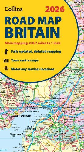
Explore Britain with easy-to-read mapping from Collins. Full-colour, double-sided road map of Great Britain at a scale of 8.7 miles to 1 inch. Northern England, Scotland and the Isle of Man are on one side with Southern England and Wales on the other.
With its easily identifiable counties and unitary authorities,this map is ideal for business users but it is also perfect for tourists for route planning.
Main features:
Fully updated Counties and local council areas shown in colour Clear, detailed road network Town and city names, rivers and canals are clearly shown 16 city/town centre street plans Index to place names Mileage chart Car ferry routes Key in English, French and German
$9.00 standard shipping within Australia
FREE standard shipping within Australia for orders over $100.00
Express & International shipping calculated at checkout
Explore Britain with easy-to-read mapping from Collins. Full-colour, double-sided road map of Great Britain at a scale of 8.7 miles to 1 inch. Northern England, Scotland and the Isle of Man are on one side with Southern England and Wales on the other.
With its easily identifiable counties and unitary authorities,this map is ideal for business users but it is also perfect for tourists for route planning.
Main features:
Fully updated Counties and local council areas shown in colour Clear, detailed road network Town and city names, rivers and canals are clearly shown 16 city/town centre street plans Index to place names Mileage chart Car ferry routes Key in English, French and German
Search our extensive online catalogue.
