Readings Newsletter
Become a Readings Member to make your shopping experience even easier.
Sign in or sign up for free!
You’re not far away from qualifying for FREE standard shipping within Australia
You’ve qualified for FREE standard shipping within Australia
The cart is loading…


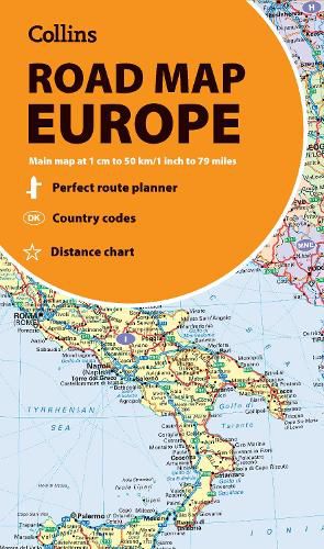
Discover new places in Europe with easy-to-read mapping from Collins.
A fully revised and updated colour road map of Europe at a scale of 79 miles to 1 inch / 50km to 1cm (1: 5,000,000). Roads, motorways, European Route numbers, railways, airports, cities and towns are clearly shown, making the map ideal for route-finding and planning journeys.
This map includes:
Full index to place names (on reverse of sheet) Distance chart giving distances in kilometres between main towns European Union map showing member states and the Eurozone Links to further information on Europe
Area of coverage
Covers the whole of Europe from the North Cape (Norway) to Gibraltar and from Ireland to east of Moscow. Also includes Iceland and Cyprus.
Key to approved country code abbreviations - GB, F, D etc. Map key in English, French, German, Spanish and Italian
$9.00 standard shipping within Australia
FREE standard shipping within Australia for orders over $100.00
Express & International shipping calculated at checkout
Discover new places in Europe with easy-to-read mapping from Collins.
A fully revised and updated colour road map of Europe at a scale of 79 miles to 1 inch / 50km to 1cm (1: 5,000,000). Roads, motorways, European Route numbers, railways, airports, cities and towns are clearly shown, making the map ideal for route-finding and planning journeys.
This map includes:
Full index to place names (on reverse of sheet) Distance chart giving distances in kilometres between main towns European Union map showing member states and the Eurozone Links to further information on Europe
Area of coverage
Covers the whole of Europe from the North Cape (Norway) to Gibraltar and from Ireland to east of Moscow. Also includes Iceland and Cyprus.
Key to approved country code abbreviations - GB, F, D etc. Map key in English, French, German, Spanish and Italian
Search our extensive online catalogue.
