Readings Newsletter
Become a Readings Member to make your shopping experience even easier.
Sign in or sign up for free!
You’re not far away from qualifying for FREE standard shipping within Australia
You’ve qualified for FREE standard shipping within Australia
The cart is loading…


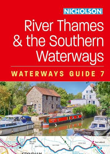
The bestselling guides to Britain's canals and rivers for 50 years.
For all users of the inland waterways including boaters, walkers, cyclists and visitors, this established, popular and practical guide covers the canals and waterways between Exeter and the River Thames.
Waterways covered in this guide - Basingstoke Canal, Bridgwater & Taunton Canal, Grand Western Canal, Exeter Ship Canal, Kennet & Avon Canal, River Thames, Wey & Godalming Navigations.
The up-to-date, detailed maps clearly show the location of essential features such as locks, towpaths and boating facilities, as well as pubs, shops and restaurants in the area. There are comprehensive navigational notes and descriptive text on the history of each canal, and on local services and places of interest, for which postcodes are included - ideal for use with sat-navs. Scale: 2 inches = 1 mile, 3 cm = 1 km.
This practical A5 guide features 'lie flat' spiral binding and 'book mark' back cover flap for ease of reference.
$9.00 standard shipping within Australia
FREE standard shipping within Australia for orders over $100.00
Express & International shipping calculated at checkout
The bestselling guides to Britain's canals and rivers for 50 years.
For all users of the inland waterways including boaters, walkers, cyclists and visitors, this established, popular and practical guide covers the canals and waterways between Exeter and the River Thames.
Waterways covered in this guide - Basingstoke Canal, Bridgwater & Taunton Canal, Grand Western Canal, Exeter Ship Canal, Kennet & Avon Canal, River Thames, Wey & Godalming Navigations.
The up-to-date, detailed maps clearly show the location of essential features such as locks, towpaths and boating facilities, as well as pubs, shops and restaurants in the area. There are comprehensive navigational notes and descriptive text on the history of each canal, and on local services and places of interest, for which postcodes are included - ideal for use with sat-navs. Scale: 2 inches = 1 mile, 3 cm = 1 km.
This practical A5 guide features 'lie flat' spiral binding and 'book mark' back cover flap for ease of reference.
Search our extensive online catalogue.
