Readings Newsletter
Become a Readings Member to make your shopping experience even easier.
Sign in or sign up for free!
You’re not far away from qualifying for FREE standard shipping within Australia
You’ve qualified for FREE standard shipping within Australia
The cart is loading…


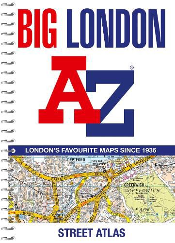
Navigate your way around London with this detailed, easy-to-use and up-to-date A-Z Street Atlas. Large scale A-Z street mapping of London. This A4 street atlas offers the perfect combination of coverage and clarity, the area covered ranges from Heathrow Airport all the way to Chingford at a scale of 4.25 inches to 1 mile (6.71 cm to 1 km), while a detailed map of Central London is at a larger scale of 8.5 inches to 1 mile (13.42 cm to 1 km).
The mapping features transport connections, places of interest, public buildings, postcode districts, one-way streets, Congestion and Low Emission Zones
This comprehensive street atlas of London also includes:
An overview map of the Congestion Charging Zone, and the Ultra Low and Low Emission Zones
West End Theatre and Cinema maps
The London Rail & Tube Services Map
A comprehensive index lists streets, selected flats, walkways and places of interest, place, area and junction names. Additional healthcare (hospitals, walk-in centres and hospices) and transport (National Rail, London Tramlink, Docklands Light Railway, London Underground and Overground stations, and River Bus pier) are indexed as well.
$9.00 standard shipping within Australia
FREE standard shipping within Australia for orders over $100.00
Express & International shipping calculated at checkout
Navigate your way around London with this detailed, easy-to-use and up-to-date A-Z Street Atlas. Large scale A-Z street mapping of London. This A4 street atlas offers the perfect combination of coverage and clarity, the area covered ranges from Heathrow Airport all the way to Chingford at a scale of 4.25 inches to 1 mile (6.71 cm to 1 km), while a detailed map of Central London is at a larger scale of 8.5 inches to 1 mile (13.42 cm to 1 km).
The mapping features transport connections, places of interest, public buildings, postcode districts, one-way streets, Congestion and Low Emission Zones
This comprehensive street atlas of London also includes:
An overview map of the Congestion Charging Zone, and the Ultra Low and Low Emission Zones
West End Theatre and Cinema maps
The London Rail & Tube Services Map
A comprehensive index lists streets, selected flats, walkways and places of interest, place, area and junction names. Additional healthcare (hospitals, walk-in centres and hospices) and transport (National Rail, London Tramlink, Docklands Light Railway, London Underground and Overground stations, and River Bus pier) are indexed as well.
Search our extensive online catalogue.
