Readings Newsletter
Become a Readings Member to make your shopping experience even easier.
Sign in or sign up for free!
You’re not far away from qualifying for FREE standard shipping within Australia
You’ve qualified for FREE standard shipping within Australia
The cart is loading…


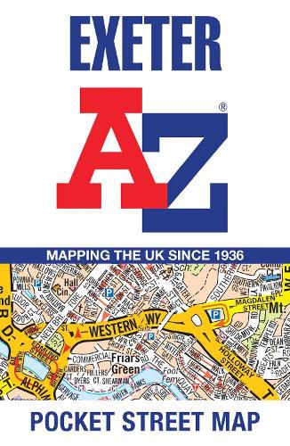
Navigate your way around Exeter with detailed street maps from A-Z This up-to-date, folded A-Z street map includes more than 2,100 streets in and around Exeter. As well as the central area of the University colleges and Cathedral, the other areas covered are Larkbeare, Friars Green, Barnfield, St Thomas and St David's.
The large scale 1 mile to 5.5 inch (1 km to 8.68 cm) street map includes the following:
Places of interest
One-way streets and car parks
Index to streets, places of interest, place and area names, park and ride sites, national rail stations, hospitals and hospices
The perfect reference map for finding your way around Exeter.
$9.00 standard shipping within Australia
FREE standard shipping within Australia for orders over $100.00
Express & International shipping calculated at checkout
Navigate your way around Exeter with detailed street maps from A-Z This up-to-date, folded A-Z street map includes more than 2,100 streets in and around Exeter. As well as the central area of the University colleges and Cathedral, the other areas covered are Larkbeare, Friars Green, Barnfield, St Thomas and St David's.
The large scale 1 mile to 5.5 inch (1 km to 8.68 cm) street map includes the following:
Places of interest
One-way streets and car parks
Index to streets, places of interest, place and area names, park and ride sites, national rail stations, hospitals and hospices
The perfect reference map for finding your way around Exeter.
Search our extensive online catalogue.
