Readings Newsletter
Become a Readings Member to make your shopping experience even easier.
Sign in or sign up for free!
You’re not far away from qualifying for FREE standard shipping within Australia
You’ve qualified for FREE standard shipping within Australia
The cart is loading…


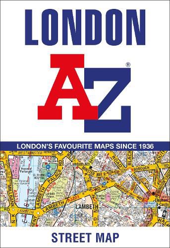
The A-Z London Map is a self-covered, fold-out sheet map which combines our instantly recognizable A-Z street mapping with a street index on the reverse.
Published at a scale of 3.5 inches to 1 mile, the map extends out from central London to: * Highbury and Hackney in the north *Clapham Common and Lewisham in the south *Notting Hill and Barnes in the west *Stratford and Greenwich Peninsula, with the O2, in the east.
Postcode districts, one-way streeets, the congestion charging zone boundary and safety camera locations with speed limits are featured on the mapping.
TfL’s central area Tube map forms the back cover, making it easy to refer to without opening the sheet.
This publication is the perfect choice for those wanting the combination of a desirable map area and a compact folded size.
$9.00 standard shipping within Australia
FREE standard shipping within Australia for orders over $100.00
Express & International shipping calculated at checkout
The A-Z London Map is a self-covered, fold-out sheet map which combines our instantly recognizable A-Z street mapping with a street index on the reverse.
Published at a scale of 3.5 inches to 1 mile, the map extends out from central London to: * Highbury and Hackney in the north *Clapham Common and Lewisham in the south *Notting Hill and Barnes in the west *Stratford and Greenwich Peninsula, with the O2, in the east.
Postcode districts, one-way streeets, the congestion charging zone boundary and safety camera locations with speed limits are featured on the mapping.
TfL’s central area Tube map forms the back cover, making it easy to refer to without opening the sheet.
This publication is the perfect choice for those wanting the combination of a desirable map area and a compact folded size.
Search our extensive online catalogue.
