Readings Newsletter
Become a Readings Member to make your shopping experience even easier.
Sign in or sign up for free!
You’re not far away from qualifying for FREE standard shipping within Australia
You’ve qualified for FREE standard shipping within Australia
The cart is loading…


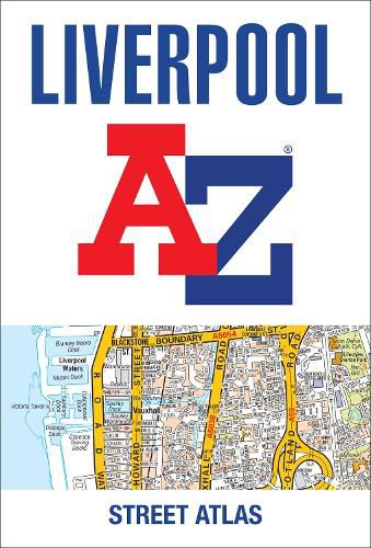
Navigate your way around Liverpool with this detailed and easy-to-use A-Z Street Atlas.
Printed in full-colour, paperback format, this atlas contains 120 pages of continuous street mapping.
Coverage extends to include: Maghull, Crosby, Bootle, Kirkby, Prescot, Huyton, St. Helens, Haydock, Widnes, Runcorn, Wallasey, Birkenhead, West Kirby, Heswall.
Also included is: * a large scale city centre map of Liverpool * a postcode map of the Liverpool area * a Liverpool rail connections map
Postcode districts, one-way streets and park and ride sites are featured on the mapping.
The index section lists streets, selected flats, walkways and places of interest, place, area and station names, hospitals, NHS Walk-in Centres and hospices.
$9.00 standard shipping within Australia
FREE standard shipping within Australia for orders over $100.00
Express & International shipping calculated at checkout
Navigate your way around Liverpool with this detailed and easy-to-use A-Z Street Atlas.
Printed in full-colour, paperback format, this atlas contains 120 pages of continuous street mapping.
Coverage extends to include: Maghull, Crosby, Bootle, Kirkby, Prescot, Huyton, St. Helens, Haydock, Widnes, Runcorn, Wallasey, Birkenhead, West Kirby, Heswall.
Also included is: * a large scale city centre map of Liverpool * a postcode map of the Liverpool area * a Liverpool rail connections map
Postcode districts, one-way streets and park and ride sites are featured on the mapping.
The index section lists streets, selected flats, walkways and places of interest, place, area and station names, hospitals, NHS Walk-in Centres and hospices.
Search our extensive online catalogue.
