Readings Newsletter
Become a Readings Member to make your shopping experience even easier.
Sign in or sign up for free!
You’re not far away from qualifying for FREE standard shipping within Australia
You’ve qualified for FREE standard shipping within Australia
The cart is loading…


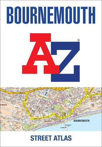
Navigate your way around Bournemouth with this detailed and easy-to-use A-Z Street Atlas.
Printed in full-colour, paperback format, this atlas contains 63 pages of continuous street mapping.
Covered extends to include: Poole, Christchurch, Blashford, Ringwood, Wimborne Minster, Ferndown, Bournemouth Airport, Barton on Sea, Milford on Sea, Lymington.
In addition, there are seperate coverages of Verwood, Lyndhurst and Brockenhurst, an inset of Three Legged Cross and large scale town centre maps of Bournemouth and Poole.
Postcode districts, one-way streets, park and ride sites and the New Forest National Park boundary are also featured on the mapping.
The index section lists streets, selected flats, walkways and places of interest, place, area and station names, hospitals and hospices covered by this atlas.
$9.00 standard shipping within Australia
FREE standard shipping within Australia for orders over $100.00
Express & International shipping calculated at checkout
Navigate your way around Bournemouth with this detailed and easy-to-use A-Z Street Atlas.
Printed in full-colour, paperback format, this atlas contains 63 pages of continuous street mapping.
Covered extends to include: Poole, Christchurch, Blashford, Ringwood, Wimborne Minster, Ferndown, Bournemouth Airport, Barton on Sea, Milford on Sea, Lymington.
In addition, there are seperate coverages of Verwood, Lyndhurst and Brockenhurst, an inset of Three Legged Cross and large scale town centre maps of Bournemouth and Poole.
Postcode districts, one-way streets, park and ride sites and the New Forest National Park boundary are also featured on the mapping.
The index section lists streets, selected flats, walkways and places of interest, place, area and station names, hospitals and hospices covered by this atlas.
Search our extensive online catalogue.
