Readings Newsletter
Become a Readings Member to make your shopping experience even easier.
Sign in or sign up for free!
You’re not far away from qualifying for FREE standard shipping within Australia
You’ve qualified for FREE standard shipping within Australia
The cart is loading…


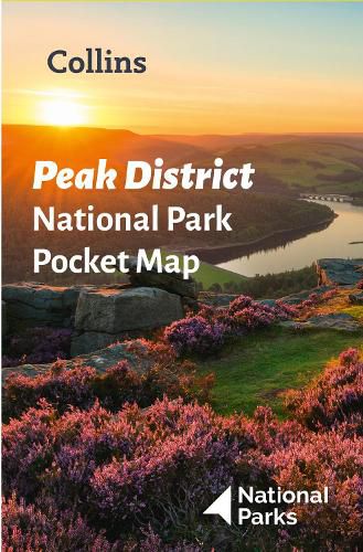
Handy little full colour map of Peak District National Park.
Detailed mapping and visitor information to the National Park along with a selection of photographs. Map at a scale of 1:120 000 (1cm to 1.20km, 1.9 miles to 1 inch).
This small map gives a great overview of the Peak District National Park, and is the perfect companion for exploring this beautiful area of England.
* Clear, detailed mapping
* Key park, tourist and travel information
* Ideal for planning visits to the National Park
* Index to help locate and plan your trip
* Information on the Pennine Way, Stanage-North Lees, caving activities and other places of interest
Discover more about the walking routes at this National Park with the Peak District Park Rangers Favourite Walks (ISBN: 9780008439125).
$9.00 standard shipping within Australia
FREE standard shipping within Australia for orders over $100.00
Express & International shipping calculated at checkout
Handy little full colour map of Peak District National Park.
Detailed mapping and visitor information to the National Park along with a selection of photographs. Map at a scale of 1:120 000 (1cm to 1.20km, 1.9 miles to 1 inch).
This small map gives a great overview of the Peak District National Park, and is the perfect companion for exploring this beautiful area of England.
* Clear, detailed mapping
* Key park, tourist and travel information
* Ideal for planning visits to the National Park
* Index to help locate and plan your trip
* Information on the Pennine Way, Stanage-North Lees, caving activities and other places of interest
Discover more about the walking routes at this National Park with the Peak District Park Rangers Favourite Walks (ISBN: 9780008439125).
Search our extensive online catalogue.
