Readings Newsletter
Become a Readings Member to make your shopping experience even easier.
Sign in or sign up for free!
You’re not far away from qualifying for FREE standard shipping within Australia
You’ve qualified for FREE standard shipping within Australia
The cart is loading…


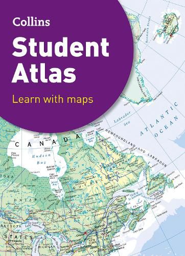
Fully revised and updated for 2021, this curriculum-supportive world atlas is the perfect tool for students aged 14-16 years (Key Stage 4, GCSE 9-1).
It features up-to-date reference and thematic mapping, country-by-country statistics, an extensive geographical dictionary and a fully comprehensive index.
* Colour coded for ease of use * Includes thematic maps and accompanying graphs and tables * Covers tourism, telecommunications, environmental and socio-economic topics * Lists relevant web addresses on each thematic page so students can explore topics more deeply * High quality satellite imagery supports data on the maps and is used to illustrate key environmental issues * Up-to-date demographic and socio-economic statistics can be used to support geographical, tourist, mathematical, economic or IT projects
$9.00 standard shipping within Australia
FREE standard shipping within Australia for orders over $100.00
Express & International shipping calculated at checkout
Fully revised and updated for 2021, this curriculum-supportive world atlas is the perfect tool for students aged 14-16 years (Key Stage 4, GCSE 9-1).
It features up-to-date reference and thematic mapping, country-by-country statistics, an extensive geographical dictionary and a fully comprehensive index.
* Colour coded for ease of use * Includes thematic maps and accompanying graphs and tables * Covers tourism, telecommunications, environmental and socio-economic topics * Lists relevant web addresses on each thematic page so students can explore topics more deeply * High quality satellite imagery supports data on the maps and is used to illustrate key environmental issues * Up-to-date demographic and socio-economic statistics can be used to support geographical, tourist, mathematical, economic or IT projects