Readings Newsletter
Become a Readings Member to make your shopping experience even easier.
Sign in or sign up for free!
You’re not far away from qualifying for FREE standard shipping within Australia
You’ve qualified for FREE standard shipping within Australia
The cart is loading…


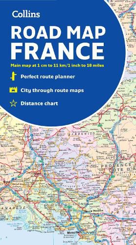
Discover new places with handy maps from Collins.
A fully revised and updated colour road map of France at 18 miles to 1 inch / 11km to 1cm. The map shows individual departments by name. All cities, towns, roads, European route numbers, motorways and toll motorways are clearly shown, making it the ideal map for planning and route-finding.
The map shows the road network in detail for easy route planning.
Main features * Fully revised and updated
* Clear, detailed road network
* Through-route maps of Paris, Lyon, Marseille, Strasbourg, and Toulouse
* Distance chart giving distances in kilometres between main towns
* Key to department names and numbers, and list of regions
* Internet links to further information
* Full Index to place names
* Map key in English, French and German
Area of coverage Covers the whole of France from the Belgian and German borders in the north to the Spanish border in the south, and from the Brest Peninsula in the west to the Italian and Swiss borders in the east. Also includes the island of Corsica.
$9.00 standard shipping within Australia
FREE standard shipping within Australia for orders over $100.00
Express & International shipping calculated at checkout
Discover new places with handy maps from Collins.
A fully revised and updated colour road map of France at 18 miles to 1 inch / 11km to 1cm. The map shows individual departments by name. All cities, towns, roads, European route numbers, motorways and toll motorways are clearly shown, making it the ideal map for planning and route-finding.
The map shows the road network in detail for easy route planning.
Main features * Fully revised and updated
* Clear, detailed road network
* Through-route maps of Paris, Lyon, Marseille, Strasbourg, and Toulouse
* Distance chart giving distances in kilometres between main towns
* Key to department names and numbers, and list of regions
* Internet links to further information
* Full Index to place names
* Map key in English, French and German
Area of coverage Covers the whole of France from the Belgian and German borders in the north to the Spanish border in the south, and from the Brest Peninsula in the west to the Italian and Swiss borders in the east. Also includes the island of Corsica.
Search our extensive online catalogue.
