Readings Newsletter
Become a Readings Member to make your shopping experience even easier.
Sign in or sign up for free!
You’re not far away from qualifying for FREE standard shipping within Australia
You’ve qualified for FREE standard shipping within Australia
The cart is loading…


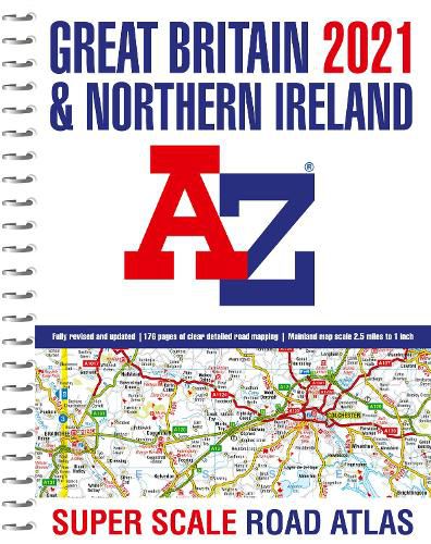
Large scale, spiral bound road atlas at A3 size has been fully revised and updated for 2021. It contains 176 pages of clear detailed road mapping at a mainland map scale of 2.5 miles to 1 inch. This large format road atlas includes the following; * 11 pages of main route mapping covering Greater London, Birmingham and Manchester * Route planning map * Mileage chart with average journey times * Information on motorway junctions with limited interchanges * 70 city and town centre street plans * 16 port and airport plans * Channel Tunnel terminus maps * Index to cities, towns, villages, hamlets, major destinations and selected places of interest with postcodes for sat-nav use * Map reference information also in French and German
Instantly recognizable and easy to use, A-Z road mapping includes the following features: Clear standard road classification colours for easy identification, Full motorway junction detail, Under construction and proposed roads, Primary route destinations, Service areas Selected truckstop locations, National and county boundaries and A wide range of tourist and ancillary information, including Blue Flag Beaches.
A combination of a great map scale, large book size and a spiral binding makes this a popular choice for those wanting superb map clarity in an easy to keep open publication.
$9.00 standard shipping within Australia
FREE standard shipping within Australia for orders over $100.00
Express & International shipping calculated at checkout
Large scale, spiral bound road atlas at A3 size has been fully revised and updated for 2021. It contains 176 pages of clear detailed road mapping at a mainland map scale of 2.5 miles to 1 inch. This large format road atlas includes the following; * 11 pages of main route mapping covering Greater London, Birmingham and Manchester * Route planning map * Mileage chart with average journey times * Information on motorway junctions with limited interchanges * 70 city and town centre street plans * 16 port and airport plans * Channel Tunnel terminus maps * Index to cities, towns, villages, hamlets, major destinations and selected places of interest with postcodes for sat-nav use * Map reference information also in French and German
Instantly recognizable and easy to use, A-Z road mapping includes the following features: Clear standard road classification colours for easy identification, Full motorway junction detail, Under construction and proposed roads, Primary route destinations, Service areas Selected truckstop locations, National and county boundaries and A wide range of tourist and ancillary information, including Blue Flag Beaches.
A combination of a great map scale, large book size and a spiral binding makes this a popular choice for those wanting superb map clarity in an easy to keep open publication.
Search our extensive online catalogue.
