


Gran Canaria, road and leisure map 1:50,000, freytag & berndt
Gran Canaria, road and leisure map 1:50,000, freytag & berndt
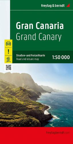
The road and leisure map of Gran Canaria at a scale of 1:50,000 contains a lot of information that is useful and helpful for a trip to the largest of the Canary Islands. The branched road network is shown exactly, scenic roads are highlighted in color and many interesting destinations are marked on the map. Drivers, motorcyclists and cyclists appreciate the exact cartography from freytag & berndt, especially for planning their tours and finding their way around. Due to the exact scale and the many marked hiking trails, the map is also very suitable for hikes and excursions in the surrounding area. Information on the Gran Canaria road and leisure map
Scale 1:50,000 Info guide with special excursion destinations vantage points hiking trails Location register with GPS coordinates Format: 110 x 99 cm
This item is not currently in-stock. It can be ordered online and is expected to ship in approx 2 weeks
Our stock data is updated periodically, and availability may change throughout the day for in-demand items. Please call the relevant shop for the most current stock information. Prices are subject to change without notice.
Sign in or become a Readings Member to add this title to a wishlist.