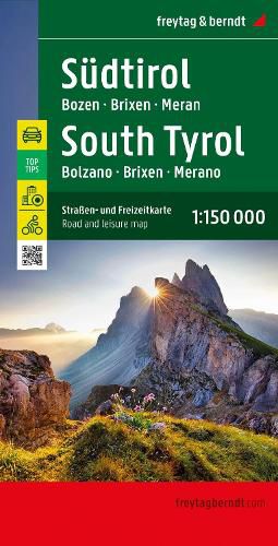
South Tyrol, road and leisure map 1:150,000, freytag & berndt

South Tyrol, road and leisure map 1:150,000, freytag & berndt
The road and leisure map of South Tyrol 1:150,000 impresses with its clear and detailed map image. Thanks to the clear optics, you always have an overview despite the many details. It shows a lot of other practical information such as sights, viewpoints, campsites and parking spaces. Details on the South Tyrol road and leisure map
Scale 1:150,000 Mit Infoguide Top Tips Ortsregister long-distance hiking trails Suitable as a cycling map City planes: Bozen/Bolzano, Lienz, Meran/Merano Ten sights are briefly described in several languages in the accompanying Top Tips info guide. (Languages: German, English, Italian, French)
This item is not currently in-stock. It can be ordered online and is expected to ship in approx 4 weeks
Our stock data is updated periodically, and availability may change throughout the day for in-demand items. Please call the relevant shop for the most current stock information. Prices are subject to change without notice.
Sign in or become a Readings Member to add this title to a wishlist.


