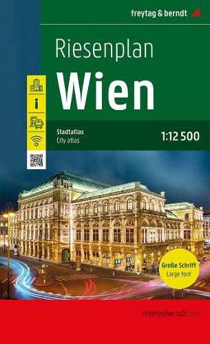
Vienna City Atlas 1:12,500 scale
Freytag + Berndt

Vienna City Atlas 1:12,500 scale
Freytag + Berndt
The giant map of Vienna at a scale of 1:12,500 is particularly easy to read thanks to its extra-large map font and large symbols. With the book plan, you can easily keep track of things in the city and because it can be opened flat or even completely turned over thanks to the practical spiral binding, it is very robust and durable. The city map provides an overview of public, free WiFi stations and shows all public transport, including subways, suburban trains, buses and trams. Selected public express connections are shown in an overview plan.
For drivers, the short-term parking zones and Park&Ride facilities are marked on a passage map. The inner city of Vienna is shown on a separate inner city map, in which the most prominent buildings and most popular sights are graphically highlighted.
Information on the Vienna Giant Plan
Vienna 1:12,500 spiral binding downtown plan Map of public fast connections transit plan General map for Vienna and the surrounding area 1:500,000 airport map street directory Format: 16.5 x 25.5 cm
This item is not currently in-stock. It can be ordered online and is expected to ship in approx 4 weeks
Our stock data is updated periodically, and availability may change throughout the day for in-demand items. Please call the relevant shop for the most current stock information. Prices are subject to change without notice.
Sign in or become a Readings Member to add this title to a wishlist.


