


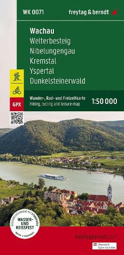
Wachau Hiking, cycling and leisure map
freytag + berndt
Wachau Hiking, cycling and leisure map
freytag + berndt
Thanks to the detailed digital cartography and the precise scales, freytag & berndt hiking maps are ideal companions for hiking, mountaineering and ski tours. They are revised regularly and contain updated information on hiking trails, cycling and mountain biking routes, huts, natural monuments, cultural sights and leisure facilities. The enclosed information booklet contains a selection of the best hiking trails, cycle paths and mountain bike routes as well as a brief description of the individual communities and their leisure activities. (Language: German) Details: Leisure information, hiking and long-distance hiking trails, mountain bike and cycling tours, register of places with postcodes, GPS-compatible, bridle paths, ski route, cross-country route. Special themed hiking trails: Dark stone forest circuit, Nibelungengau long-distance trail, Waldviertel four-market trail, Waldviertel long-distance trail, Erlauftal circular trail, Way of St. James, Mostviertel hiking trails, Wachau world heritage trail, Jauerling circuit, life trail, large Tullnerfeld circular trail, Kremstal trail. Special cycle and mountain bike tours: Waldviertel cycle path, Waldviertler-Hochlandweg, Kremstal cycle path, Danube cycle path, Spitzertal cycle path, Yspertal cycle path, Weinstein tour, Wachtstein route, Great Kremstal route, Sulzberg route;
This item is not currently in-stock. It can be ordered online and is expected to ship in approx 4 weeks
Our stock data is updated periodically, and availability may change throughout the day for in-demand items. Please call the relevant shop for the most current stock information. Prices are subject to change without notice.
Sign in or become a Readings Member to add this title to a wishlist.