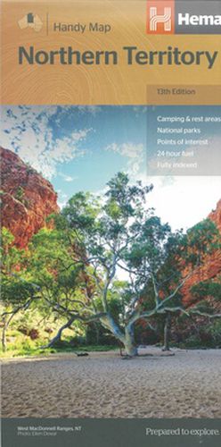
Northern Territory Handy Map
Hema Maps

Northern Territory Handy Map
Hema Maps
Northern Territory Handy Map (13th Edition) - A fully indexed map of the Northern Territory (NT) at a scale of 1:1,750,000. Marked on the map are national parks, camping areas, rest areas, caravan parks, points of interest and 24-hour fuel accompanied by a distance grid.
This item is not currently in-stock. It can be ordered online and is expected to ship in approx 2 weeks
Our stock data is updated periodically, and availability may change throughout the day for in-demand items. Please call the relevant shop for the most current stock information. Prices are subject to change without notice.
Sign in or become a Readings Member to add this title to a wishlist.


