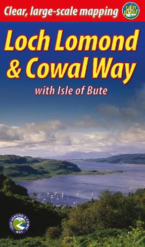
Loch Lomond & Cowal Way: with Isle of Bute
James McLuckie

Loch Lomond & Cowal Way: with Isle of Bute
James McLuckie
Lavishly illustrated guidebook with route map plus practical information - Scots Magazine
The Loch Lomond & Cowal Way is one of Scotland’s Great Trails. It runs for 57 miles (91 km) across the Cowal peninsula, which lies west of Glasgow and is easily reached by public transport, road and ferry. The route starts at Portavadie on Loch Fyne and ends at Inveruglas on Loch Lomond.
The trail is waymarked and undulating, with rugged terrain and glorious views over the Isle of Bute and the Firth of Clyde. The area is rich in history and heritage, with wildlife sightings including red squirrel, red deer and golden eagle.
Cowal has ferry links to Bute, to Kintyre and across Loch Lomond to join the West Highland Way. It’s the missing link that enables Scotland’s ultimate long-distance walk, from Kintyre all the way to Inverness.
In November 2018 the route’s name was extended to Loch Lomond & Cowal Way to reflect the fact that over 50% of it runs within the Loch Lomond & Trossachs National Park. This new guidebook celebrates that name and contains many new photographs. However, it is a successor to the previous guidebook Cowal Way (second edition, 2016) which documented the same route.
This item is not currently in-stock. It can be ordered online and is expected to ship in approx 4 weeks
Our stock data is updated periodically, and availability may change throughout the day for in-demand items. Please call the relevant shop for the most current stock information. Prices are subject to change without notice.
Sign in or become a Readings Member to add this title to a wishlist.


