


Angeles High Country Trail Map
Tom Harrison,Tom Harrison Maps
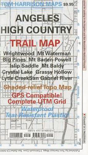
Angeles High Country Trail Map
Tom Harrison,Tom Harrison Maps
2006, Shaded relief map, folded, printed on waterproof and tear resistant material. Scale 1:63360 (1 inch represents 1 mile) and contour interval 80 feet. The area is high up in the Angeles National Forest, North of Monrovia, San Dimas and east of San Bernardino National Forest.
This item is not currently in-stock. It can be ordered online and is expected to ship in approx 2 weeks
Our stock data is updated periodically, and availability may change throughout the day for in-demand items. Please call the relevant shop for the most current stock information. Prices are subject to change without notice.
Sign in or become a Readings Member to add this title to a wishlist.