


North Downs Way
Harvey Map Services Ltd.
North Downs Way
Harvey Map Services Ltd.
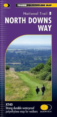
More than a map, an essential piece of equipment this new format HARVEY Route Map shows the whole of the North Downs Way on one sheet. It is detailed with the route clearly marked. It also contains information on accommodation and services, useful telephone numbers to assist with planning and a full key. Experience the satisfaction of fine navigation with the Route Map XT40, printed on our 100% waterproof, lightweight and almost indestructible paper, whatever the weather! The new format gives more mapping on one XT40 sheet (instead of the 2 previously required) without making the map heavy and bulky. The Route Map XT40 is based on original HARVEY mapping with all the information a walker needs to walk this entire route on a map at 1:40,000 scale. The North Downs Way runs through Surrey and Kent for 246km (156 miles) from Farnham to Dover.
This item is not currently in-stock. It can be ordered online and is expected to ship in approx 2 weeks
Our stock data is updated periodically, and availability may change throughout the day for in-demand items. Please call the relevant shop for the most current stock information. Prices are subject to change without notice.
Sign in or become a Readings Member to add this title to a wishlist.