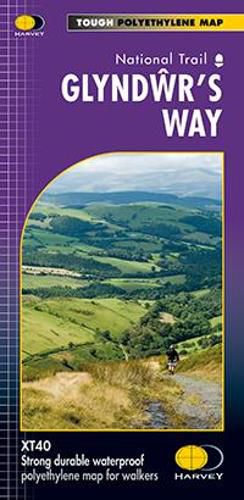
Glyndwr's Way XT40
Harvey Map Services Ltd.

Glyndwr’s Way XT40
Harvey Map Services Ltd.
Glyndwr's Way is a 135mile (217km) long National Trail meandering through the open moorland, rolling farmland, woodland and forest of mid-Wales. The Trail starts in Knighton and ends in Welshpool. The Way takes you to some of the finest landscape features in Wales including the tranquil Radnorshire Hills, the shores of the Clywedog Reservoir and heather clad Plynlimon. There are also spectacular views over Cadair Idris, Lake Vyrnwy, the Cambrian mountains and Y Golfa. The highest point on the route is Foel Fadian at 1530ft/510m. XT40 New generation of tough polyethylene maps The HARVEY series of Long Distance Route maps is an established success. Now the advanced technology used in the creation of our best-selling British Mountain Maps is also applied to the route maps. These maps are a leap forward in technical excellence. They are tough, durable, light and 100% waterproof virtually indestructible in normal use. They are light to carry, and compact not the great bulky package you get with a laminated map. The map is detailed, with the routes clearly marked. It also contains general information, useful telephone numbers and a full key. Main points at a glance Detailed, clear and easy to read, Printed on tough 100% waterproof, tearproof paper, Light to carry less than half the weight of a laminated map, Good value whole route on one map, Information on accommodation and services included.
This item is not currently in-stock. It can be ordered online and is expected to ship in approx 4 weeks
Our stock data is updated periodically, and availability may change throughout the day for in-demand items. Please call the relevant shop for the most current stock information. Prices are subject to change without notice.
Sign in or become a Readings Member to add this title to a wishlist.


