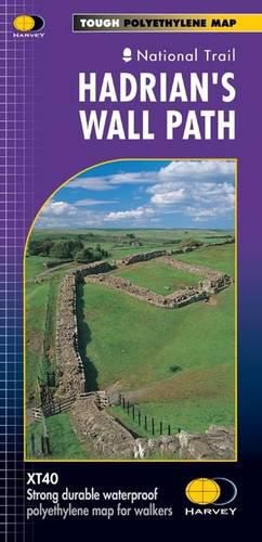
Hadrian's Wall
Harvey Map Services Ltd.

Hadrian’s Wall
Harvey Map Services Ltd.
Entire route on one map
Hadrian's Wall Path is a National Trail and runs 130km (81 miles) from the Solway Coast to Newcastle.
The sites of Roman remains are marked on the map, with an enlargement of Housesteads.
Tough, light, durable and 100% waterproof
Includes Rights of Way
Route clearly marked
This item is not currently in-stock. It can be ordered online and is expected to ship in approx 2 weeks
Our stock data is updated periodically, and availability may change throughout the day for in-demand items. Please call the relevant shop for the most current stock information. Prices are subject to change without notice.
Sign in or become a Readings Member to add this title to a wishlist.


