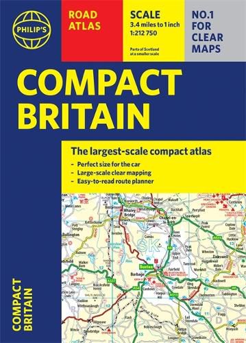
Philip's Compact Britain Road Atlas: (Flexi A5)
Philip's Maps

Philip’s Compact Britain Road Atlas: (Flexi A5)
Philip's Maps
Fully up-to-date in a handy flexibound format, Philip’s Compact Britain Road Atlas features the super-clear digital cartography, which was voted Britain’s clearest and most detailed mapping in an independent consumer survey.
All of Great Britain in a super-clear set of maps specially created to fit in a glovebox, bag or backpack with resilient flexi binding to ensure you have the detail you need and never get lost. There are larger route-planning sections to help you navigate around the island easily and every part of Britain is clearly mapped.
Chunky ‘glovebox’ format - perfect for the car or backpack
Flexibound for robust, long-lasting use
Completely updated and revised with the latest roads and zones for 2022
The clearest, most detailed road maps in a compact format
Complete coverage of Great Britain at 3.3 miles to 1 inch
Includes a 6-page route-planning section
Great value
This item is not currently in-stock. It can be ordered online and is expected to ship in approx 2 weeks
Our stock data is updated periodically, and availability may change throughout the day for in-demand items. Please call the relevant shop for the most current stock information. Prices are subject to change without notice.
Sign in or become a Readings Member to add this title to a wishlist.


