


Liverpool 1650 to 1821 - Fold Up Map Containing Town Plans of Liverpool that include Liverpool 1650, 1725, 1795 and Sherwood's plan of Liverpool and Environs 1821
Mapseeker Publishing Ltd.
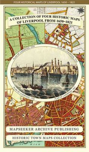
Liverpool 1650 to 1821 - Fold Up Map Containing Town Plans of Liverpool that include Liverpool 1650, 1725, 1795 and Sherwood’s plan of Liverpool and Environs 1821
Mapseeker Publishing Ltd.
This folded map (890mm 1000mm when unfolded) is an ideal souvenir for tourists to Liverpool and also a valuable reference resource for local and family history research. The larger Plan of Liverpool from 1824 is by Sherwood, reproduced in full colour for the first time working from the rare antique original. It shows in detail the layout of streets, buildings and the famous docks.. The Plan includes the Environs of Liverpool, with Everton at the time on the edge of the town surrounded by fields. The other three detailed plans of Liverpool are dated 1650, 1725 and 1795, and visually show the rapid growth of Liverpool over this period. All the maps have been meticulously re-produced from antique originals and printed on 90 gsm Progeo paper which was specially developed as a map paper. It has high opacity to help reduce show through and a cross grain giving it greater durability to as the map is being folded.
This item is not currently in-stock. It can be ordered online and is expected to ship in approx 2 weeks
Our stock data is updated periodically, and availability may change throughout the day for in-demand items. Please call the relevant shop for the most current stock information. Prices are subject to change without notice.
Sign in or become a Readings Member to add this title to a wishlist.